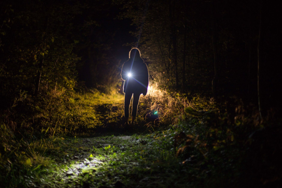
It was raining when I started writing this post and it fits the mood. It’s been a bit busy in a lot of ways this past month for me and I’ve fallen behind my goal of more frequent postings.
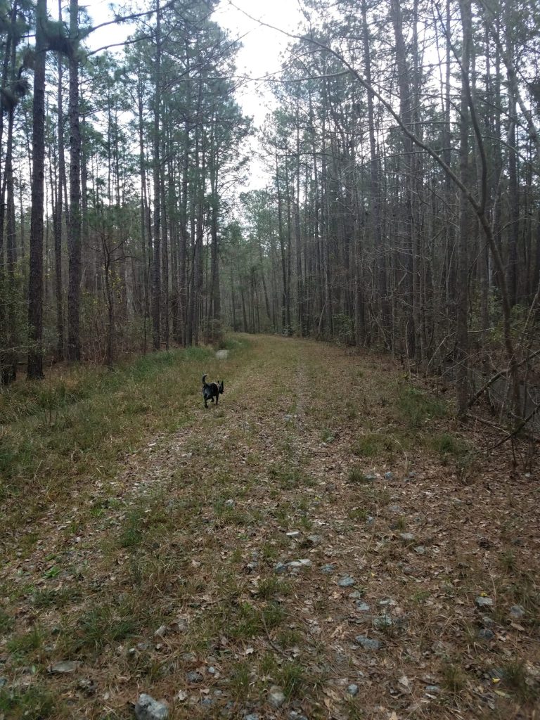
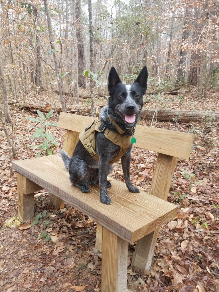
I’ve had a few setbacks recently, which really do nothing to help in the writing category. Most notably, was the cancellation of our annual backpacking trip. Again. This is the second year in a row it’s been cancelled. I was really hoping to get some time in hiking a section of the Appalachian Trail, however there was some “dangerous” weather conditions forecast for our planned hike period. It would have made for a big fubar to bring new hikers into a week of really crappy, and potentially dangerous, weather, so discretion won out. But I feel like I should have gone anyway, even solo. My hindsight is way better than my foresight.
I had an idea and had applied for a federal grant to research a “save the world,” but I never heard back. I don’t think it was taken seriously by the big government givers away of money because I’m not affiliated with any major institutions of “higher” learning. Oh well. On an unrelated side note, if anyone is interested in crowd-sourcing atmospheric carbon capture using existing commercial building infrastructure, just let me know.
I also started teaching night classes again for the summer, which I do enjoy. Coupled with trying to set some sort of weekly gym-fitness routine, I was keeping busy. This was going well for the most part, but somehow still felt more like a place holder than anything else. Nice, but not hitting on all cylinders. So I went poking a stick in the bushes looking for some kind of a new job to explore. Besides, I felt a bit of positive cash flow would be nice for a change. Anyway, long story-short, I have just started working a new job. I’m grateful for the opportunity, yet I have a sense of being somewhat constrained by draft now. Unfortunately this may mean I loose out on an epic Utah trip this fall with my brother. We’ll see how everything shakes out.
Just because I seem to like trying new things, I’ve been bouncing around the idea of starting up a podcast too, but have held off. I have started listening to some really great sets, and they piqued my interest from the story telling perspective. I need to spend some time focusing on the direction(s) I want to take this. For now I think I’ll move this idea into the “future projects” file, maybe for when the rain stops.
#