It’s a hot July, and Radar and I are venturing out in search of a new trail.
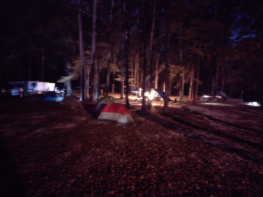
My volunteer group routinely does a split camping event at Poinsett State Park, where one group with the younger boys goes directly to the state park and sets up a base camp in the primitive group camping area. I take another group of older boys South to Mill Creek County Park and then backpack up through the Manchester State Forest, rejoining the main group at the base camp.
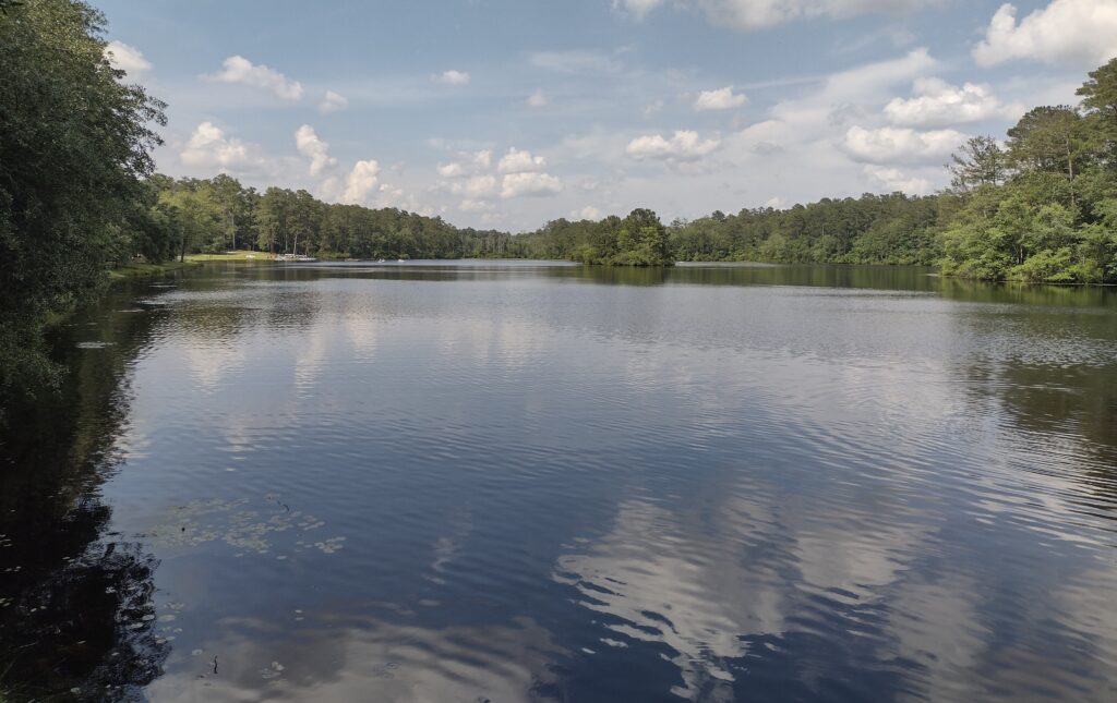
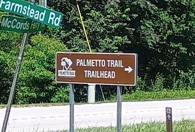
The Palmetto Trail cuts through Poinsett State Park. This really works out great for a weekend backpacking trip. It gives you a great place to end a hike and relax after recovering vehicles. The southern trail is the High Hills of Santee Passage, with the northern trail the Wateree Passage.
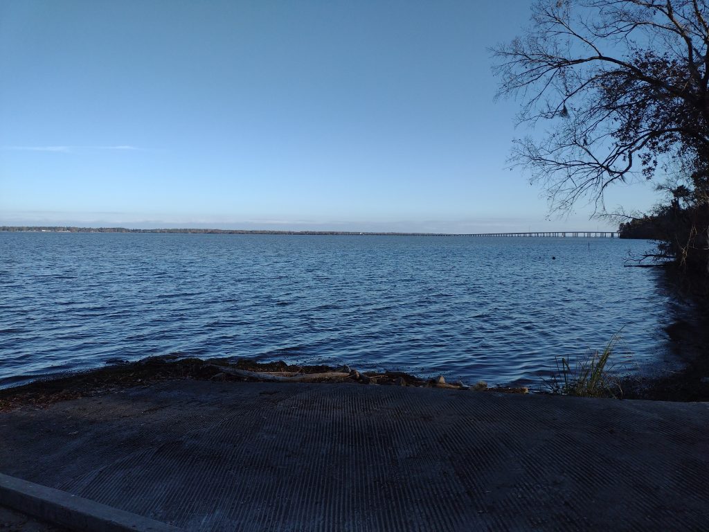
I’ve hiked the High Hills of Santee Passage of the Palmeto trail dozens of times over the years now and want to try a new backpacking trail into Poinsett State Park this coming year. The Wateree Passage looks like an interesting hike. A big chunk of the trail uses an old rail bed with a suspension bridge to cross over the Wateree Swamp to get to the park. Because it will be a group event, I want to research the trail a bit and do some trail scouting.
At the northern end of the Wateree Passage, there are two trailheads for this section, one at 11.4 miles and one at 9 miles. While camping is allowed, there are no designated campsites along this passage. There is also no water source indicated until you get to the state park. Normally, with Mill Creek, we camp Friday night at the county park and then hike up Saturday to the state park. So part of what I wanted to see in trail scouting the Wateree Passage is where we could camp Friday night.
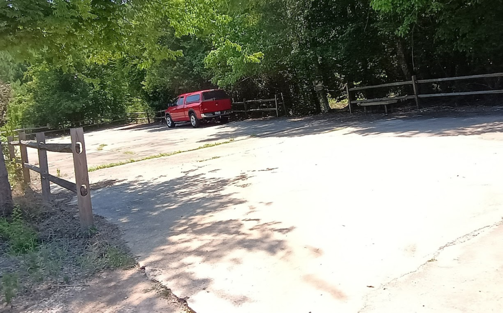
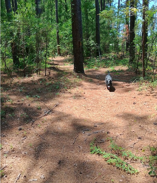
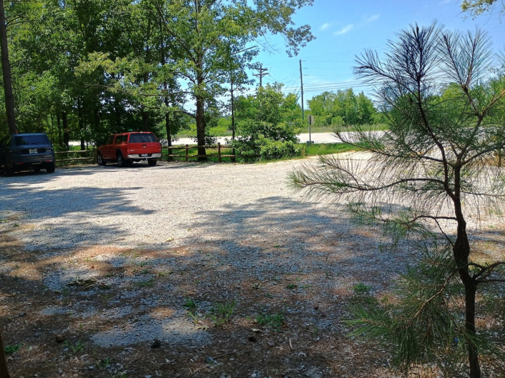
The trailhead at the 11.4-mile mark looks great for parking, not so much for a night of camping. The trail started right off the fenced paved parking lot, after the information kiosk. There are very few places for a group to pitch tents. Radar and I walked down the trail about a mile and didn’t find any real clearing, so we headed down to the trailhead at mile 9.
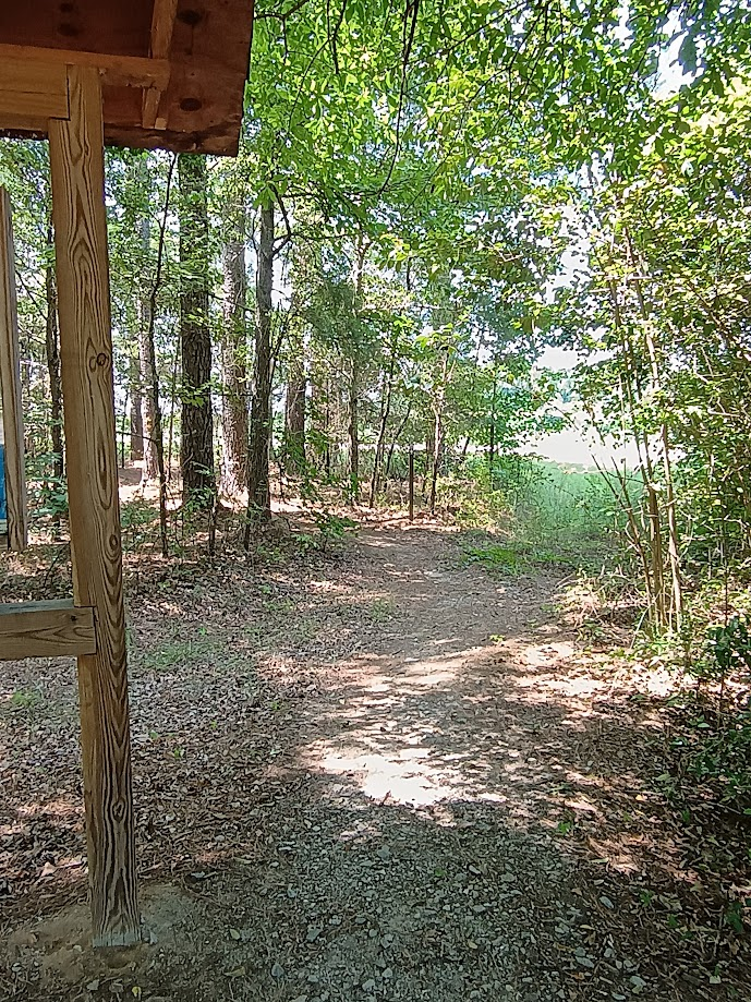
The fenced gravel parking lot at the mile 9 trailhead was not really any better, but it did include a small picnic table. There was a family from Florida lunching when I arrived. Again, like the 11.4 trailhead, there was an information kiosk, but the trail just continued past with no clearings near this stop.
Just a little further down the road, at around the 8.75-mile point, the trail takes a hard turn to the east to pick up the railroad line and cross the Wateree Swamp.
If we are to camp on the trail Friday night, it’s going to be between the two trailheads somewhere. We’ll also need to bring all the water we’ll need. The other option might be to camp at the state park Friday night, then drive over to a trailhead on Saturday and hike back. The next step will be to get the trip on the calendar with a little bit more planning.
#