The journey of a thousand miles begins with the first step, and this is mine.

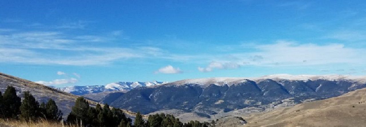
Montana Mountains

Tag: Poinsett

Wateree Trailhead

Trail Scouting a Future Hike

It’s a hot July, and Radar and I are venturing out in search of a new trail.

My volunteer group routinely does a split camping event at Poinsett State Park, where one group with the younger boys goes directly to the state park and sets up a base camp in the primitive group camping area. I take another group of older boys South to Mill Creek County Park and then backpack up through the Manchester State Forest, rejoining the main group at the base camp.

The Palmetto Trail cuts through Poinsett State Park. This really works out great for a weekend backpacking trip. It gives you a great place to end a hike and relax after recovering vehicles. The southern trail is the High Hills of Santee Passage, with the northern trail the Wateree Passage.

I’ve hiked the High Hills of Santee Passage of the Palmeto trail dozens of times over the years now and want to try a new backpacking trail into Poinsett State Park this coming year. The Wateree Passage looks like an interesting hike. A big chunk of the trail uses an old rail bed with a suspension bridge to cross over the Wateree Swamp to get to the park. Because it will be a group event, I want to research the trail a bit and do some trail scouting.

At the northern end of the Wateree Passage, there are two trailheads for this section, one at 11.4 miles and one at 9 miles. While camping is allowed, there are no designated campsites along this passage. There is also no water source indicated until you get to the state park. Normally, with Mill Creek, we camp Friday night at the county park and then hike up Saturday to the state park. So part of what I wanted to see in trail scouting the Wateree Passage is where we could camp Friday night.

Wateree 11.4 trailhead parking
Wateree 11.4 Trailhead Parking

The trailhead at the 11.4-mile mark looks great for parking, not so much for a night of camping. The trail started right off the fenced paved parking lot, after the information kiosk. There are very few places for a group to pitch tents. Radar and I walked down the trail about a mile and didn’t find any real clearing, so we headed down to the trailhead at mile 9.

Wateree 11.4 Mile Trailhead
Wateree Trail at 11 miles

The fenced gravel parking lot at the mile 9 trailhead was not really any better, but it did include a small picnic table. There was a family from Florida lunching when I arrived. Again, like the 11.4 trailhead, there was an information kiosk, but the trail just continued past with no clearings near this stop.

Wateree 9 mile Trailhead Parking
Wateree 9-mile Trailhead Parking

Just a little further down the road, at around the 8.75-mile point, the trail takes a hard turn to the east to pick up the railroad line and cross the Wateree Swamp.

If we are to camp on the trail Friday night, it’s going to be between the two trailheads somewhere. We’ll also need to bring all the water we’ll need. The other option might be to camp at the state park Friday night, then drive over to a trailhead on Saturday and hike back. The next step will be to get the trip on the calendar with a little bit more planning.

#

The morning is cool, the coffee is hot – (Part 1)

It’s been a while, but it feels good to get out again. I’m sitting at picnic table in the dark cool pre-dawn hours at Mill Creek county park, enjoying a warm drink of coffee and hot chocolate. There are eight others in our group. We’re hiking the High Hills of Santee. For some of them, this is their first backpacking experience, for others, they have hiked this section of the palmetto trail before, maybe even several time. For me, I think I must have been down this trail over a dozen times. It will be nice to be back on the trail again, it’s like visiting an old friend, almost like coming home. The sky is starting to lighten a little. They are all still sleeping now, but soon will be up, making bathroom runs, chatting, cooking breakfast, breaking camp, and packing their gear for the hike. But right now it’s quite.

#

Hiking South Carolina – High Hills of Santee

Looking for a great one day hike? Then this may be the answer. This passage of South Carolina’s Palmetto Trail snakes through the Manchester State Forest, linking Mill Creek County Park with Poinsett State Park. The High Hills of Santee Passage trail gets its name from the high, rolling sandy dunes, which are part of the regional geology. These rolling hills are the ancient ocean shoreline found in the state’s midland area. This is one of my favorite hikes when introducing new hikers to the trail.

Located in Sumter County, near the Northern side of Santee Lake, this 10 mile trail winds through the forest from Sumter County’s Mill Creek Park (+-195’), North up to Poinsett State Park. As the Manchester forest is state managed, you will pass through a couple areas which have been logged in the past and are now in various stages of regrowth. The term forest however is a little misleading.  With fairly diverse terrain, including rolling sand ridges, mixed pines and hardwood forest, creeks, and even a patch of quicksand, there is plenty to keep the hike interesting every step of the way.

Of course you can hike in either direction, I prefer starting at Mill Creek Country Park and Hiking toward Poinsett State Park. The southern end of the trail is a bit more sandy and easier to travel through while you’re fresh. Towards the northern end of the trail you enter more rolling hills and wooded sections. As you come up from Shanks Creek crossing, there is a parking lot area before the trail crosses Poinsett Park Road. You are within the last few miles before entering the state park. With a latrine here, this is a great spot to take a short break before the last leg of this hike. Crossing over the road you pick up the trail again. You will step into another completely different type of wooded area as you enter a forest of scrub oaks draped with Spanish moss. This is one of my favorite sections of this hike. As the trail enters the park, it crosses and drops off to the left of the park road and winds down around the creek as you head toward and around the Old Levi Mill Pond. You will comes out of the woods and cross the earthen dam holding back Old Levi Mill Pond. While you are there, take a few minutes and explore the Singleton Grist Mill ruins and old grinding wheel. You end your hike at the park visitors center (+-100’) trail head at the parking lot.

Favorite Time of year: Fall through Spring

Distance: About 10 miles

Things to Know: This is a Moderately Easy hike.

Camping: Camping is available at both Mill Creek County Park and Poinsett State Park (reservations required). Both parks have restrooms, bathhouses, and parking. For all permit and reservation information at Mill Creek county park, call Steve at (803) 436-2248.

Pet friendly: Must be leashed at all times, including the forest, okay everywhere outdoors except cabin and lodging areas of the park.

Getting There: Poinsett State Park and Mill Creek Park are both located near on the Northern side of Santee Lake, and West of the town of Sumter, in Sumter County, South Carolina. It’s about a 1 hour drive from the Charleston area.

Powered by WordPress & Theme by Anders Norén