My first efforts to take Radar on a real overnight campout and then hiking went incredibly well. Radar and I have hiked together a fair amount. And we’ve glamped before. But we haven’t actually tent camped and hiked in one outing before. Hopefully this overnight adventure was a test run for more fun outings to come.
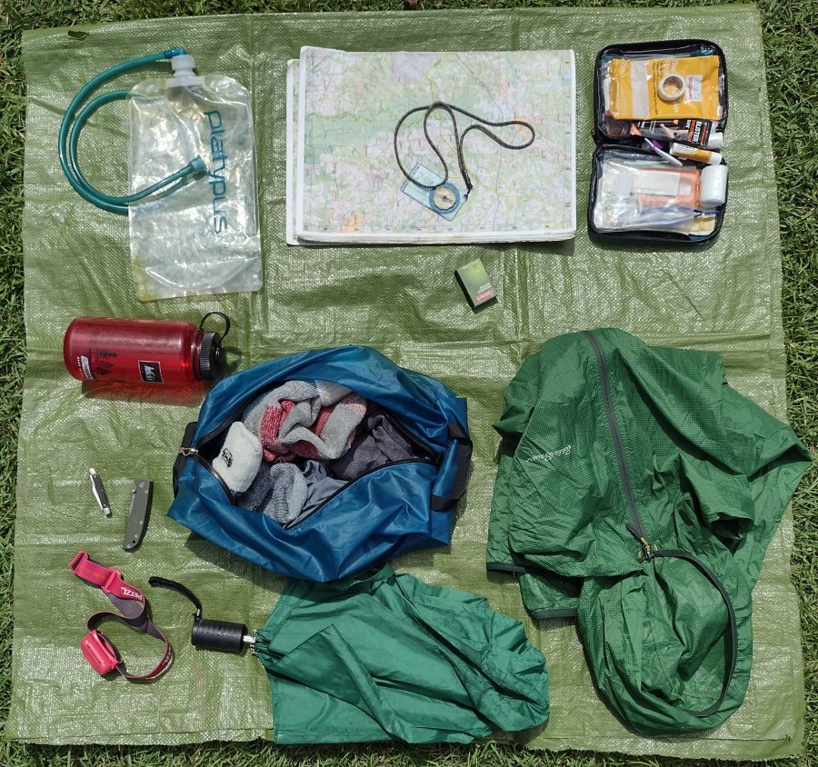
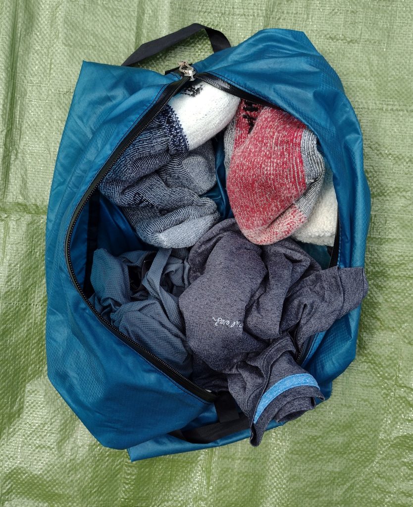
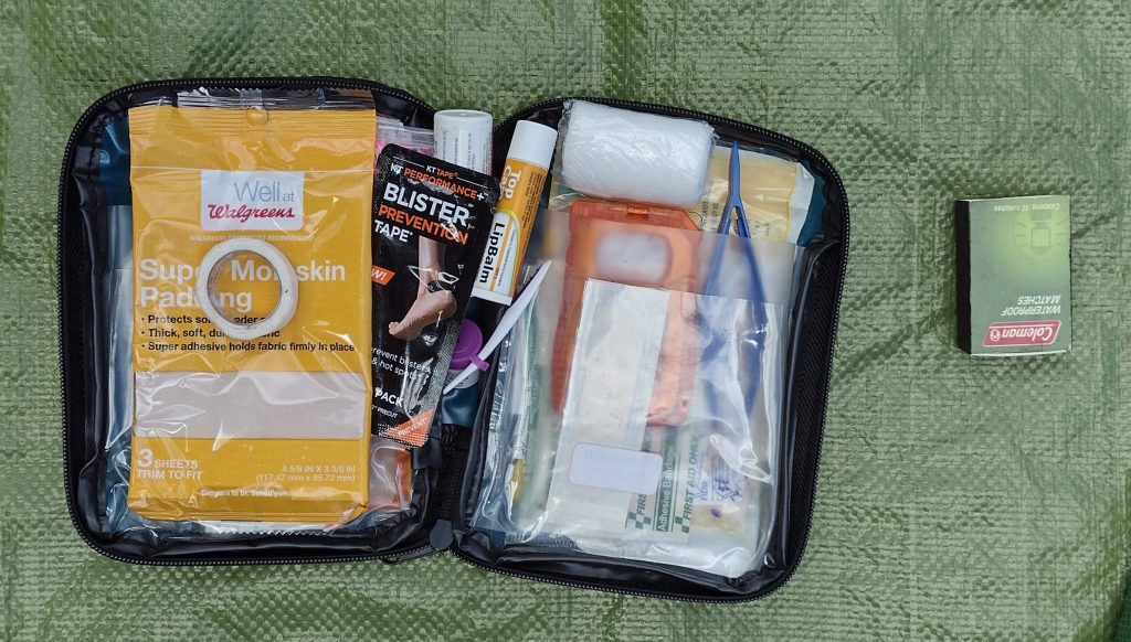
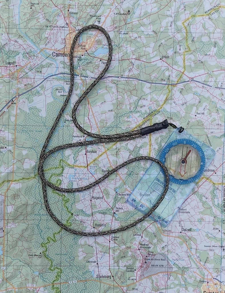
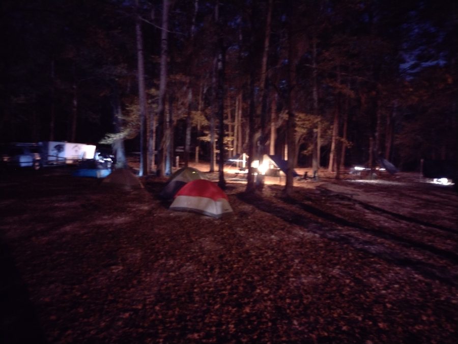
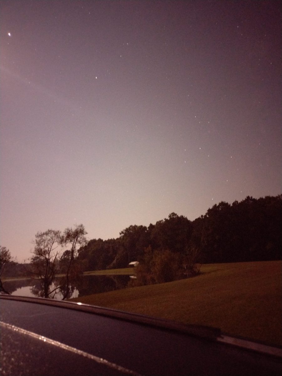
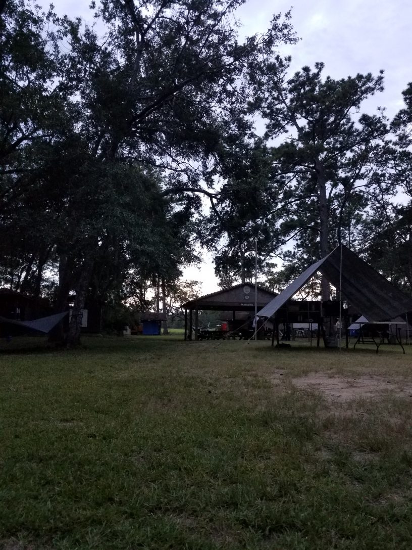
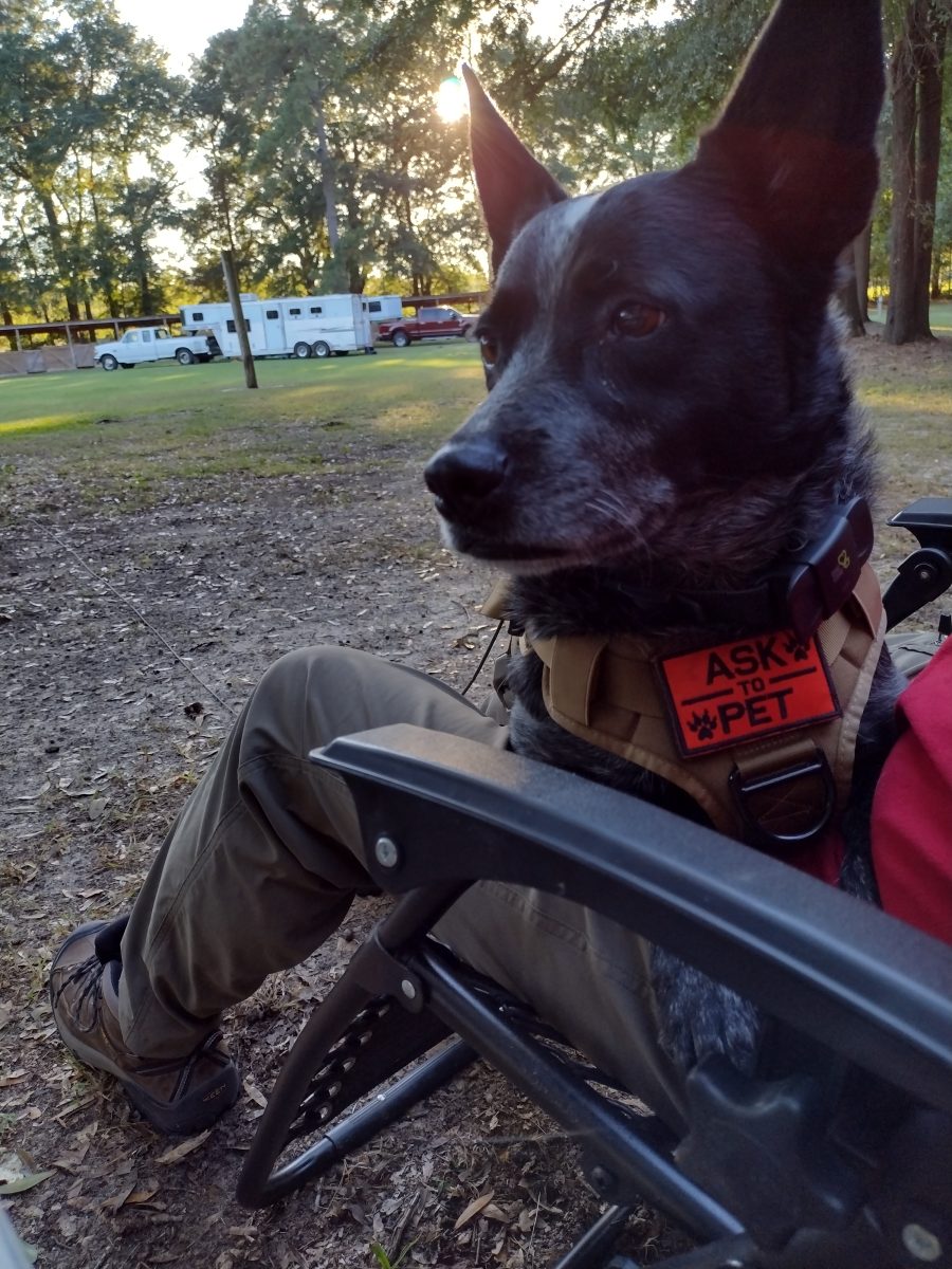
We arrive at Mill Creek county park about 5:30 pm. Mill Creek county park is a popular equine camping staging area located in Sumter County, at the southern end of the High Hills of Santee Passage of the the Palmetto Trail. There are a few horse trailers already set up for camping there. We select and set up our camp site near the trailhead leading north to the High Hills of Santee trail. Radar is nervous. He doesn’t know why we’re here this late in the day. Tent camping is all new to him and he’s not sure what’s happening. I put his vest on him to see if it will help calm him down any. I’m picking tarp camping to start out with him which is a little bit of a challenge in and of itself. I guess I figure we may as well start hard and work toward easy. Park rules say he needs to be on leash in the park, although not all dogs here are. There is at least a pug and another heeler here too. The pug runs up next to my car as I arrived, dragging it’s leash, seemingly convinced it was more important to greet us as new arrivals to camp, regardless of it’s own personal safety and the potential hazards of being crushed by a moving vehicle. Anyway we’ll see how the leash thing goes. I had picked up a 50′ roll of paracord from Lowe’s on the way with the idea I could make a long lead for Radar in camp. I also brought his bedding from home to make him feel a little more at home along with his regular food and water bowls. I have a couple collapsible bowls I usually bring when we go out for hikes but will save them for the trail tomorrow. Right now he’s sitting on my lap in the chair (his choice), watching everyone and everything else around the camp.

There is a mule in an impromptu electric fence corral next to a couple of horse trailers on the right of us. They have the pug and heeler. Across from us is another pair of horse trailers with a shepherd and lab. Everyone seems to know everyone. They started a camp fire at the pair of trailers across from us and the people from all four trailers are sitting around the fire chatting. The sun is getting ready to set so I’m going to feed Radar and eat now myself.
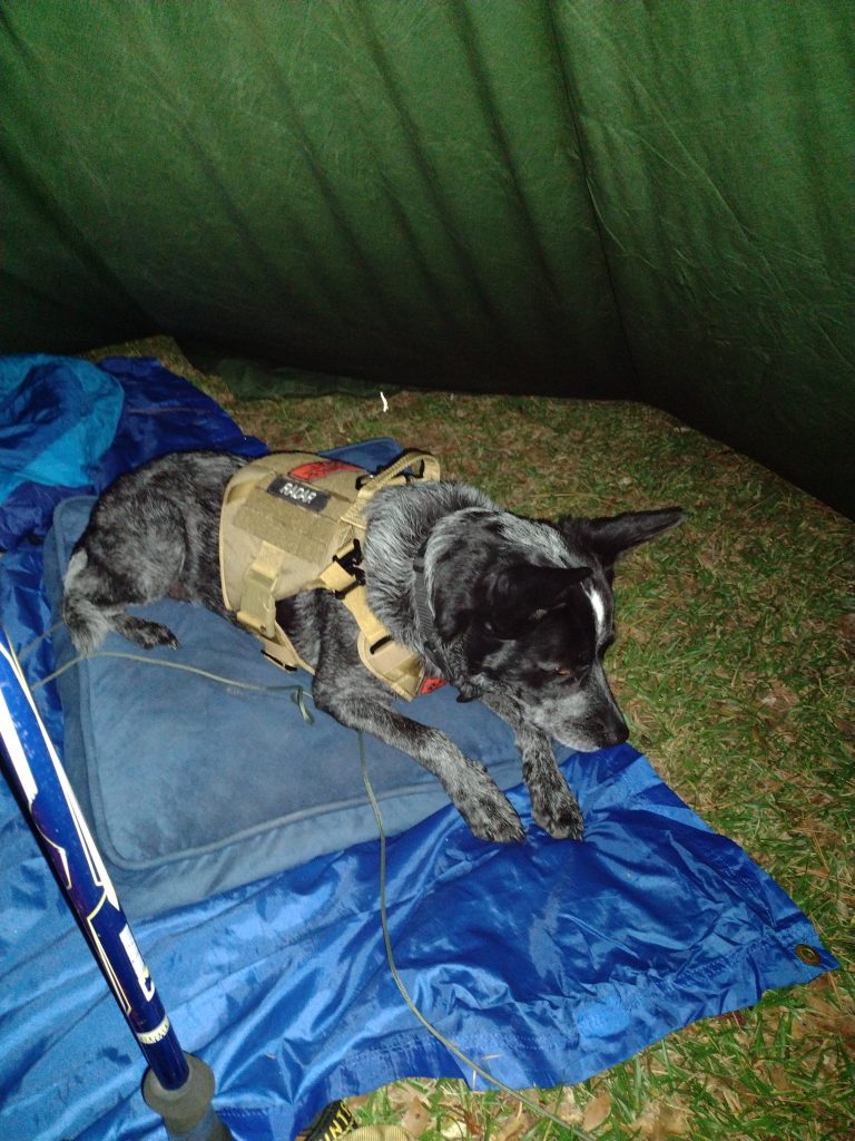
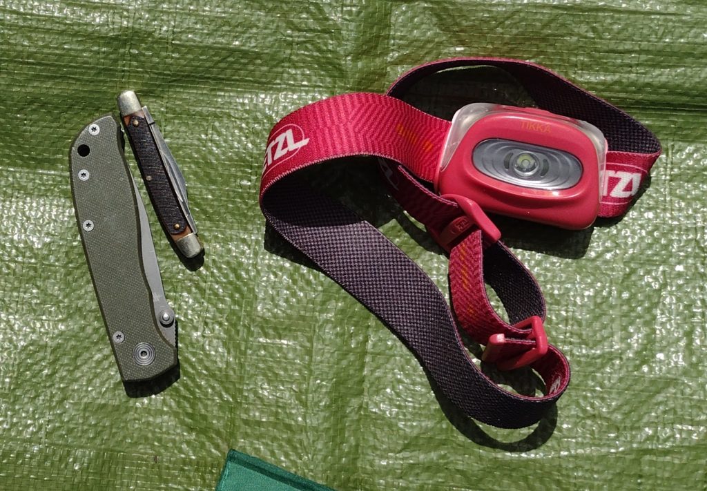
Up in the morning. I was awake early but am waiting until the sun starts coming up. It was a little bit cooler than I expected last night with this early morning temperatures at about 45 degrees. Note to future-self: Things to bring on fall campouts, gloves and a warm hat. I am glad I brought my heavier sleeping bag, a 20 degree sleeping bag, which was perfect. Radar did incredibly well for his first night of tarp camping. He only got up a few couple of times in the night, left the tarp, and walked around. I think he was check out noises from the adjacent woods. No barking, just checking. I got up a couple times myself to pee and he followed me close. Because we were under a tarp, I had to keep him on the long lead most of the night but for the last hour or so waiting for sunrise. This last hour we both just lay here waiting for sunrise. The ground is pretty hard and my Z-fold pad isn’t making much of a difference. I’m beginning to think I may need a different pad.
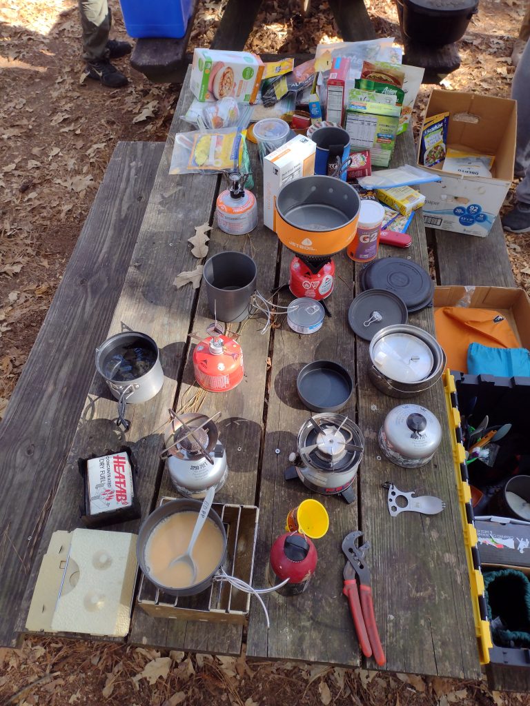
Radar still seems a little nervous this morning so when I got up for a quick walk to the bath house, I took him with me. I wanted to use the larger stall so Radar could come in with me, but someone was already in there so we went back to our campsite. Who get’s up at the crack of dawn to use a bathhouse anyway? When we get back to the camp site, I open up the car to start getting breakfast ready and Radar jumps right in and takes his place on the front seat. I don’t know if he thinks I might leave him or not but he isn’t taking any chances. He comes out of the car for his morning meal while I have a nice trail breakfast of hot oatmeal and a café mocha. It feels good to be in backpacker/hiker mode again. I’m dressed for the trail. It’s been a while (too long) since I’ve been able to get out and do any real hiking.
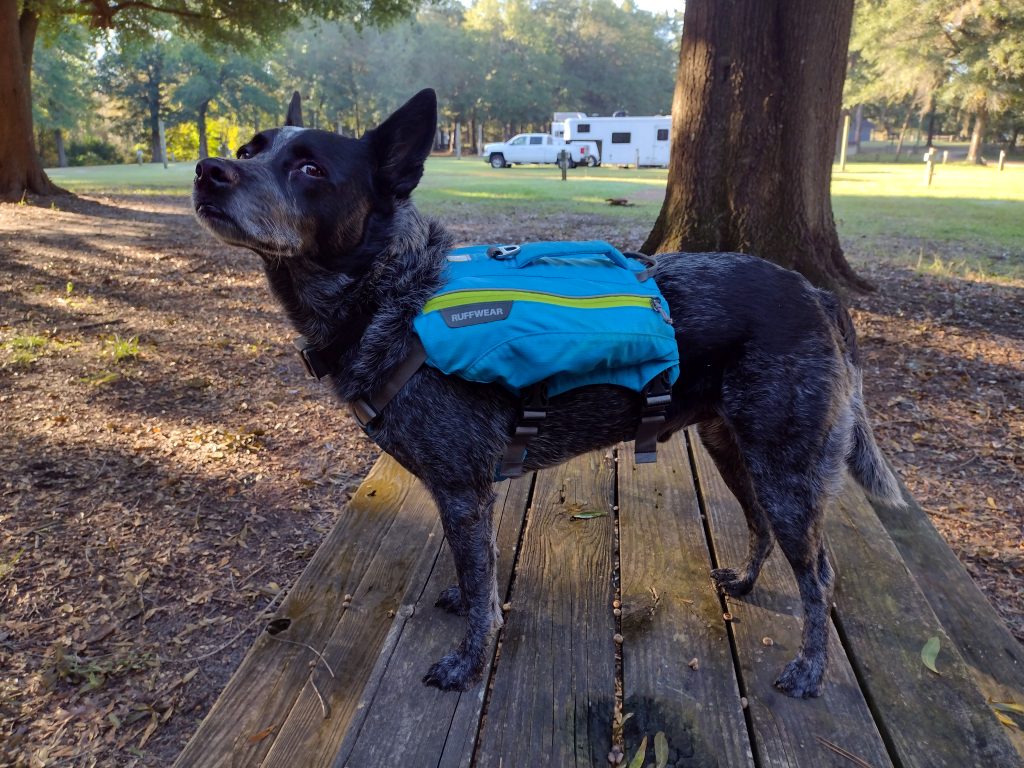
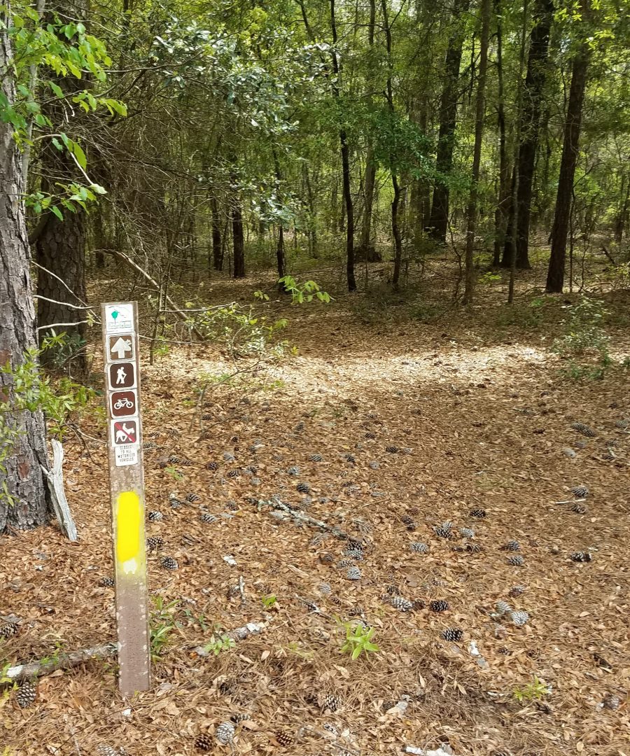
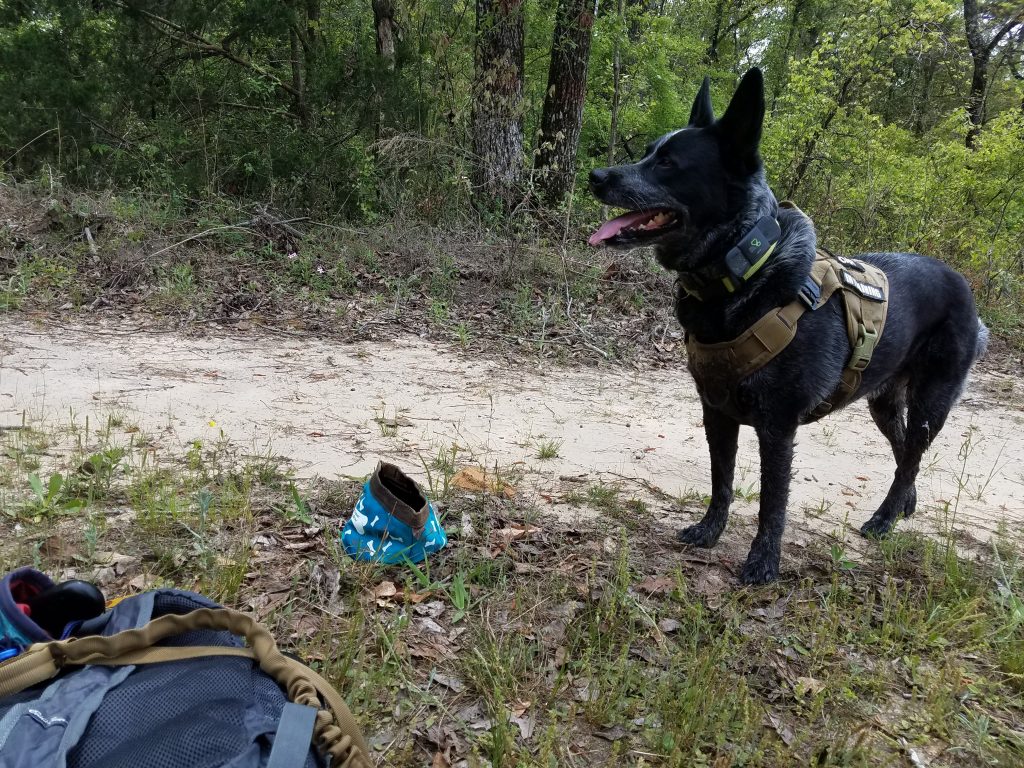
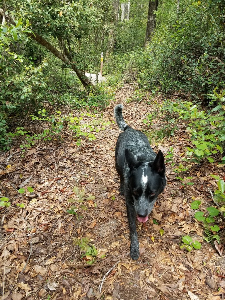
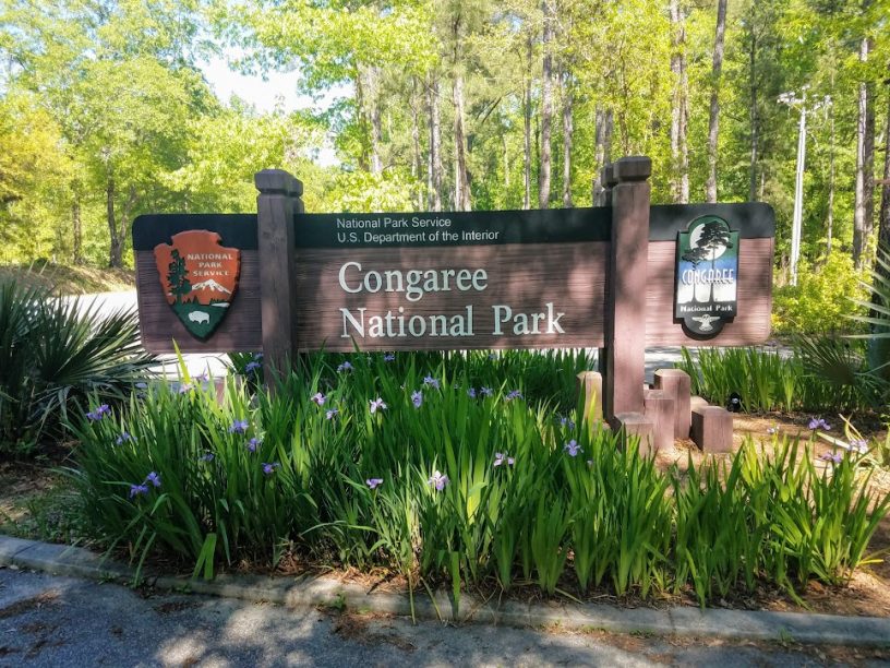
After clean up and repacking my hiking day pack, I put on Radars hiking vest. I want something with a little color on him as we are hiking in the Manchester State Forest, which is public land, during hunting season, and I don’t have any blaze orange with us. I think once Radar realizes we are going hiking he really relaxes a lot. We are on trail, north bound, at 8:50 am. Radar is off leash, much to his hiking joy, once we get out of the park but I do have a leash just incase we meet horses or other hikers. Proper trail etiquette and all. Not everyone seems to like dogs.
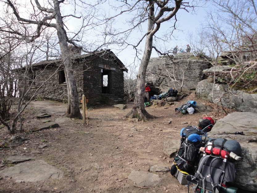
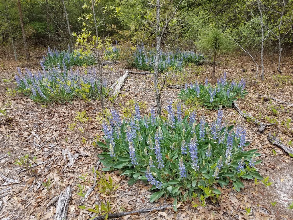
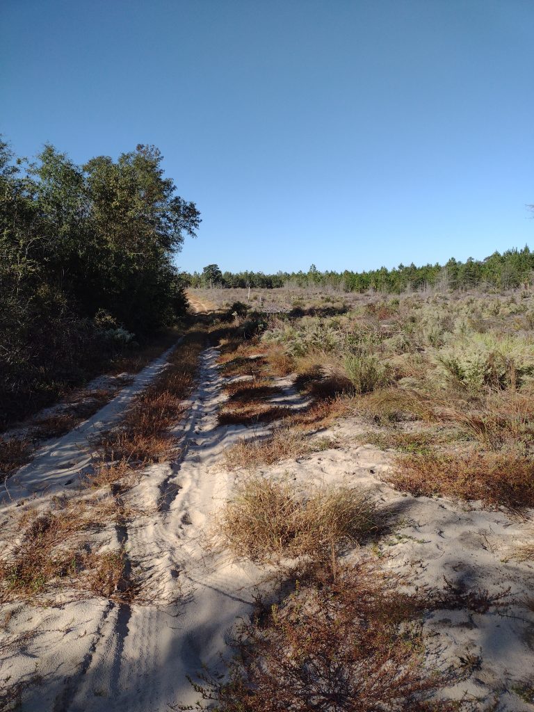
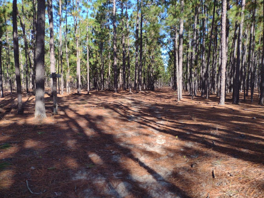
The High Hills of Santee Passage I think I’ve hiked at least a dozen times. It’s a great section to hike and I usually start out new backpackers on this trail. There are a lot of access roads and the trail is well marked most of the time. Since it’s been a while for me, I’m loosely planning to hike maybe 3, 4, or 5 miles out, depending on how I feel and the day goes. Then turning around and hiking back. The trick is leaving enough fuel in the tank for the return trek. I figure if I can start hiking by 9am, we can maybe hike like +-3 hours, we could eat lunch and then hike back. Being on trail by 8:50 is a perfect start.
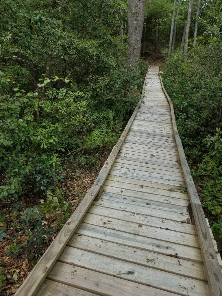
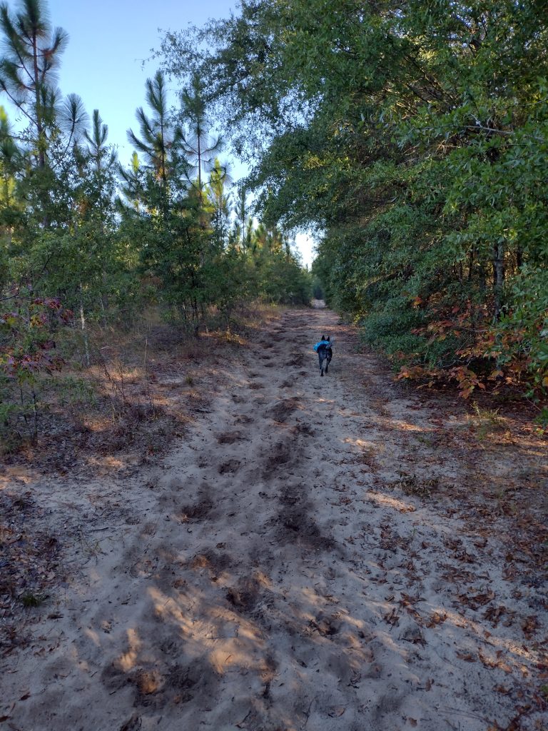
The issue with the early section of this trail (besides the quicksand patch) is it’s sandy. Sandy like walking on dry sand at the beach sandy. It really sucks the energy out of you. Starting out in the morning fresh is okay (’cause you’re fresh) but finishing at the end of a hike is tough, it’s like hiking an extra mile or two when you’re tired.
The day goes well, the weather is cool, clear and perfect hiking weather. We hike well and make good time. We covered about five and a half miles and make Christmas Mill Road by about 11:30. As we reach the crossroads, there are a whole group of trucks with hunters coming in and starting to unload. Rather than stop there for lunch, we just start our return leg and hike about an hour more before we stop for a good lunch break.
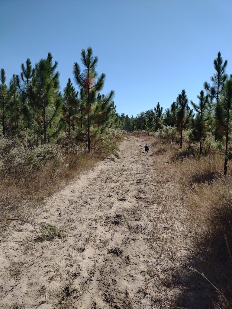
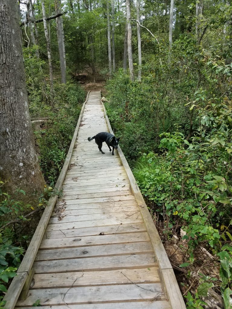
Radar seems to understand when I tell him “we’re heading back to camp, back to the car.” His ears are up and he leads the whole way back to camp. He follows the trail flawlessly, even when the trail crosses a road or splits, he picks out the correct path on the other side. As we were hiking out of camp north bound, he would generally stay close to me alternating between ahead, behind, or off trail checking out smells and noises, usually not much more than about 75 feet away. Heading back south bound to camp, he occasionally is going off trail to check a noise or smell, but mostly he is leading with purpose, maintaining about a 50-75 feet lead ahead of me on the trail, stopping ever so often and looking back to make sure I am still with him, stopping in the shade, waiting for me to catch up, and then he starts trotting off down trail again.
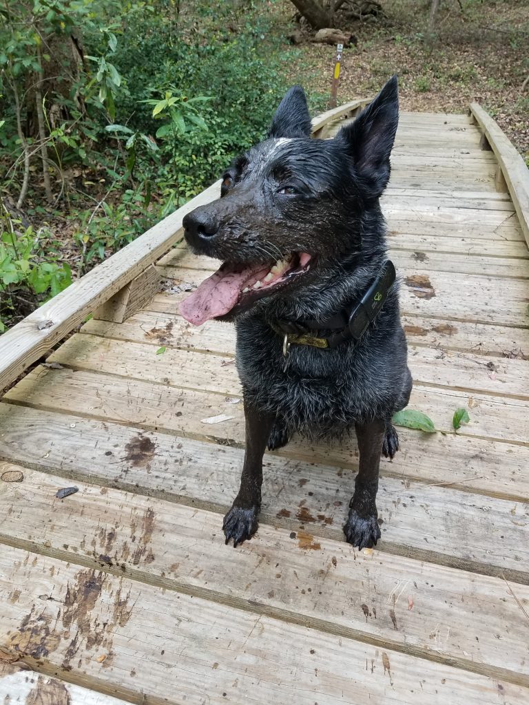
We stop for lunch around noon. Food and water for both of us. I have a couple collapsible water bowls but it’s hard to judge when hiking and how much water he needs. I make sure he has his fill of water during our lunch stop. The final leg to camp is more sandy and the day is warming up. We’re back on trail by 12:30 heading in to the home stretch now. Nearing the last quarter mile from camp we run into a string of horses with riders, we pull off trail to let them pass, Radar sits and waits. This is a big test because he loves horses. Really, really loves horses. Nipping tails kind of love. He stays, the riders pass intact. We hike on. I’m very happy. We make it back to camp around 2:10 pm. As we enter back in to camp we make for a picnic table in the shade and break out the last of our water. The hike is a win. A great hike and overall a great little campout. Radar crushed the hiking part of the trip and I think he’ll get the hang of this tent camping thing without any issues in the future. Now to figure out the next trip.
#
Did you enjoy or find this post useful? Please let me know by leaving a comment below or join me on Instagram or Facebook.