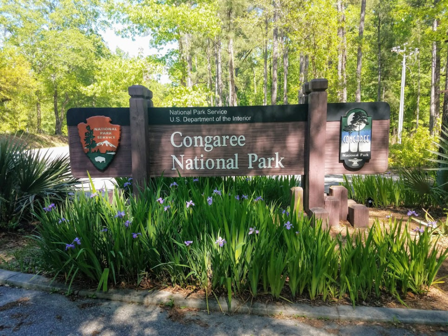
Radar and I hit the boardwalks of the Congaree National Park as part of our Palmetto Challenge and we were not disappointed. The last time I had visited the Congaree swamp area, it was the Congaree Swamp National Monument. There was just a basic visitor center, a few hundred feet of boardwalk, and an open field designated for camping. Congress did a great thing in 2003 when they re-designated the monument as the Congaree National Park.


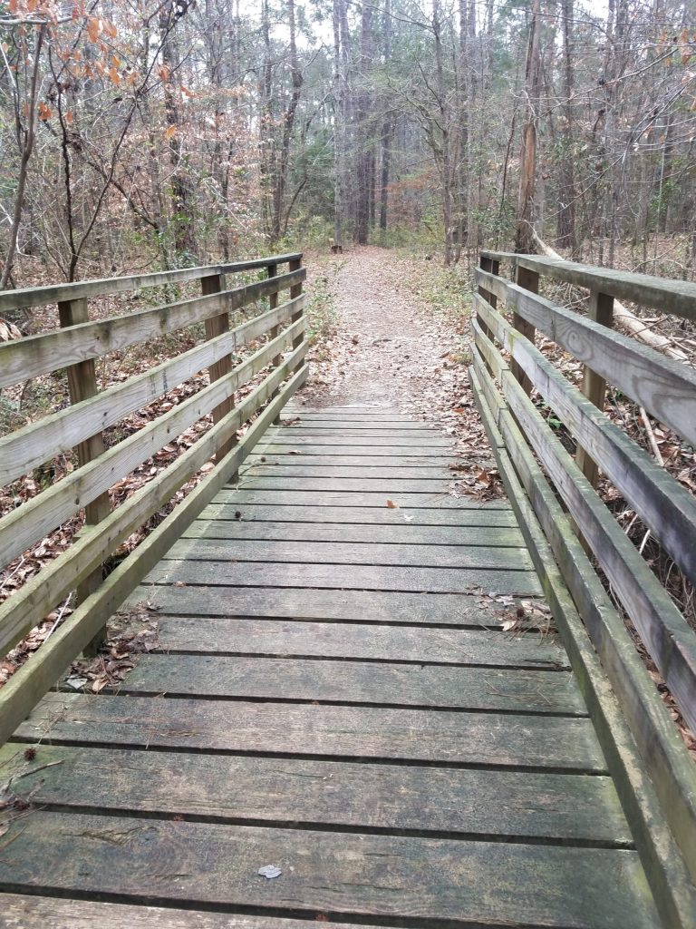
Many improvements have been made as a result of the national park (NP) designation. The campsites have been upgraded to actual real designated camp sites with central latrines. There is paved parking and a new, much larger, visitor center which explains the history and importance of the entire Congaree basin. It’s here you can also pick up the map and narrative for the Self-guided Boardwalk Tour, which Radar and I did at the start of our walk. The best part of the the park improvements are expansion of the boardwalks and trails. There are almost two and a half miles of boardwalks with dozens of miles of foot trails winding deep through the rich swamp.


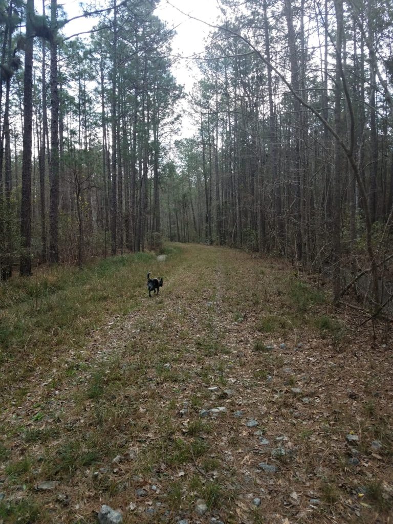
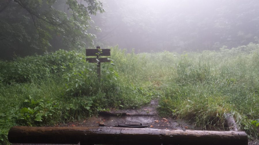
On the day of our visit, the weather was perfect. The trees were in their spring green and their high 130 foot canopy providing wonderful shade and a cool breeze. The river water however was elevated at just over 8 feet, and as part of the natural flood cycle, almost all of the low trails were underwater including a portion of the low boardwalk. We walked the low boardwalk out about a half mile to where the flooding waters took over. We stood at the waters edge and watched the water slowly making it’s way through the trees around us. It was kind of magical to be able to stand in the middle of a flooded, flowing swamp. We backtracked and followed the elevated boardwalk out to Weston Lake and then a little past where one of the trails intersected the boardwalk. The floodwaters prevented us from looping any of the trails this day, but we had a great time exploring anyway.


This park offers some great opportunities to explore a rare old growth forest, either afoot or afloat. You can hike deep in to the park on the River & Kingsnake trails. if you like paddling, you can take some amazing float trips through the swamp via canoe or kayak on Cedar Creeks and along the Congaree River itself. My first couple canoe trips in South Carolina were centered around the Congaree River and Swamp. My family and I canoed a very memorable 48 miles of the Congaree River, camping in the wilderness on the banks of the Congaree Park (National Monument at the time). The following month, I led a weekend canoe trek with my scout troop starting on Cedar Creek in the swamp and making our way out on to the Congaree River, again camping in the wilderness. Both trips were adventures in exploration of a wilderness not likely to be found anywhere else.

As the largest remaining tract of old-growth bottom-land hardwood forest in North America, the Congaree National Park is a must-visit if you ever find yourself in the area.
Congaree National Park (120′) | SC 48 (Bluff Road) | Richland Co. | Hopkins, SC | 16 April 2019 | 6 miles | 106′ gain | Easy
Favorite Time of year: Spring and fall for camping.
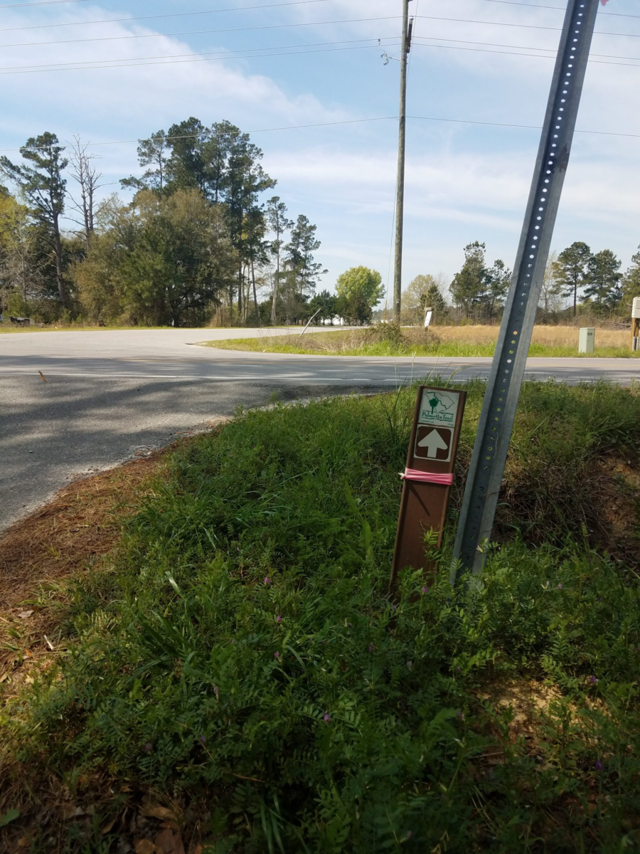
Things to Know: Check the water levels prior to going, you can call or check the river gauges here. Please speak to a park ranger before setting a geocache.
Camping: You need a prepaid reservation for front-country campgrounds, you can make reservations through Recreation.gov or by calling 1-877-444-6777. Back-country camping is allowed please the the Camping page of the NP site for details.
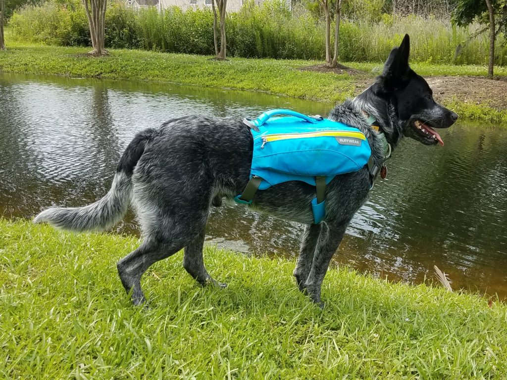
Pet friendly: Pets allowed in most outdoor areas but must be physical restraint or on a leash not longer than six feet. Be respectful of others on the boardwalks.
Getting There: Congaree NP is in the midlands of South Carolina, just South of Columbia about 30 miles, East of I-26 and South of I-77, just off Old Bluff Road. It’s about an hours drive from the Charleston area.
#