This park has a heavy slant toward horses and dogs, but don’t be mislead. H. Cooper Black Jr. Memorial Field Trial and Recreation Area is an outstanding destination with unique facilities and terrain to explore.
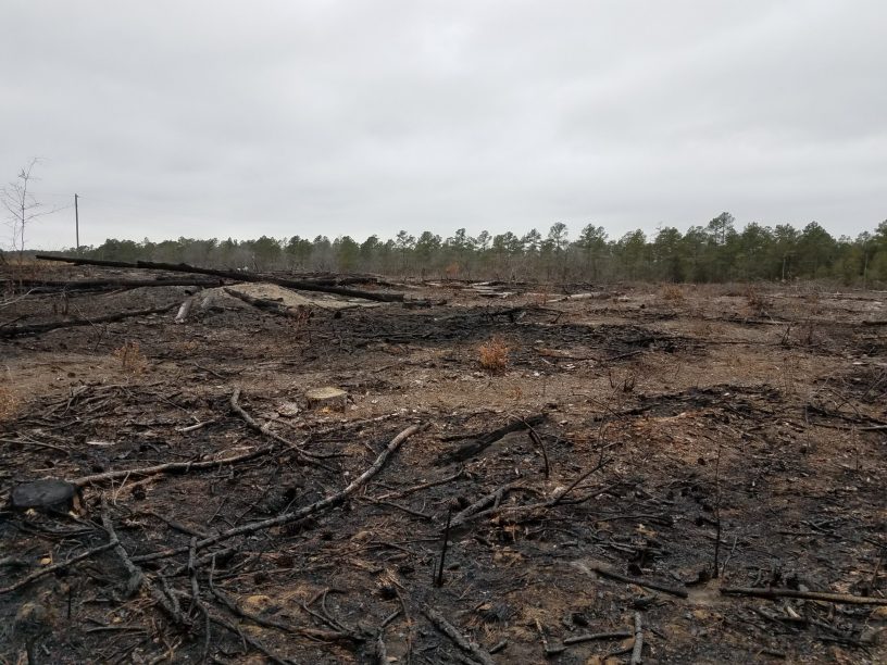
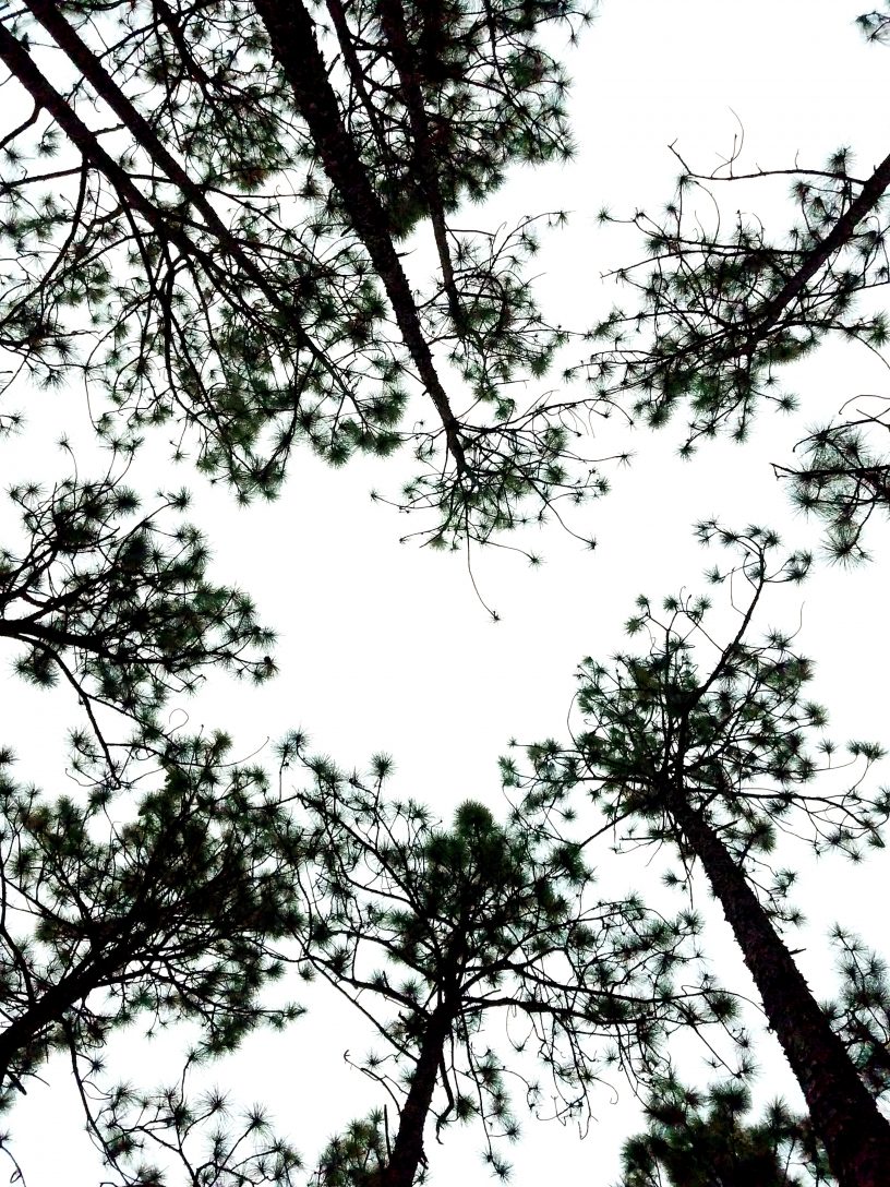
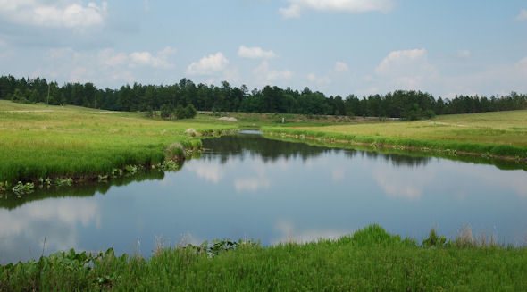
I found H. Cooper’s openness a pleasant change from some of the smaller parks within the state. While there aren’t really “hiking” trails here, there are acres of wilderness to explore. I found the freedom of walking across the expansive rolling hills with their combination of open tall grass fields, pine forests, and waterfowl ponds nestled between, amazingly enjoyable and refreshing.
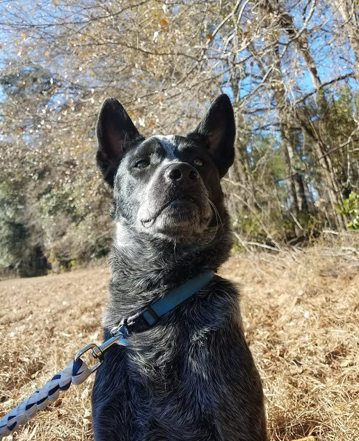
One of fun things I enjoyed about this park, was letting Radar off leash when we were out in the fields and at the ponds (dogs must be on lease near the camp sites). We even tried a little retriever training at the ponds (‘turns out the pup can’t swim – but that’s a story for another time). Most state parks have some pretty strict lease rules which makes it a little difficult to train with him for hiking, so it was nice to be able to roam in the fields and woods with him.
This park is one of newest and largest in the SC park system. Located in Chesterfield County, just about 5.6 miles South of Cheraw, H. Cooper Black was added to the park system in 1994. With it’s 7000 acres, it is the fourth largest in the South Carolina State Park system. The two big things in the park are the 20 miles of equestrian trails and the retriever training & events. But don’t let not having a horse keep you away. This park it is open, pleasant, and definitely worth the trip away from civilization. I look forward to returning to H. Cooper Black again.
Favorite Time of year: Anytime for camping.
Things to Know: If you like animals such as horses and dogs, you will like H. Cooper Black.
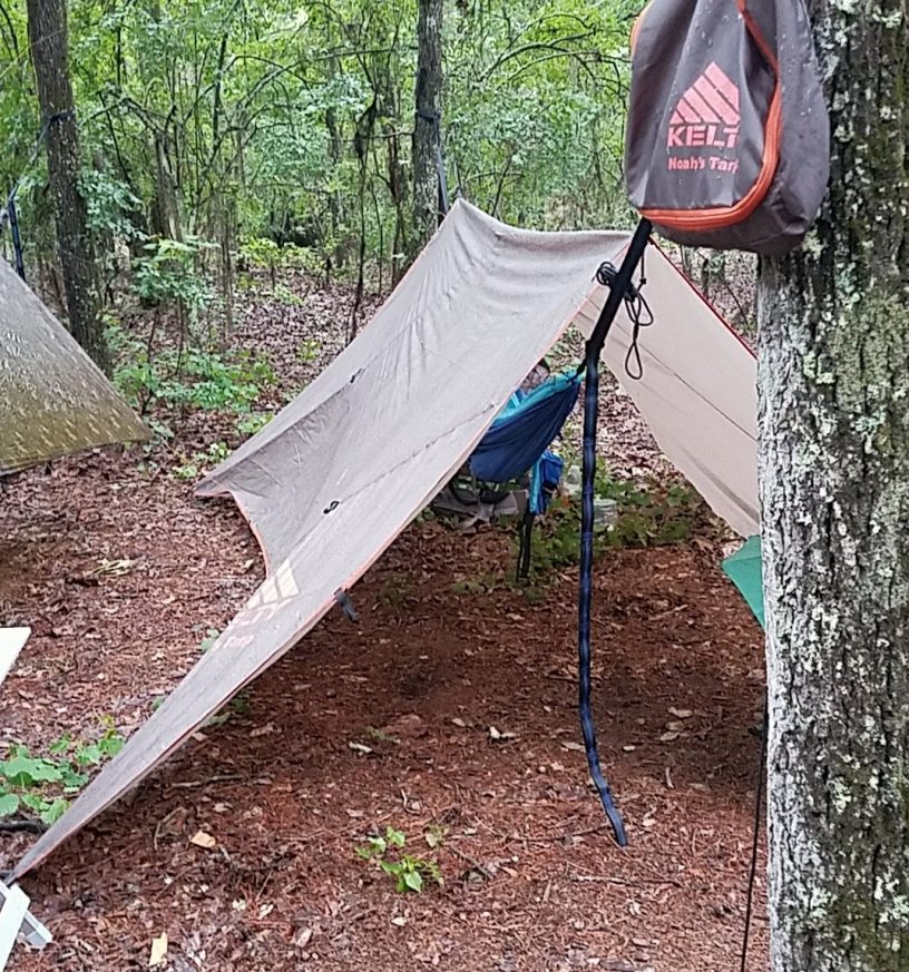
Camping: Camping is available at H Cooper Black. Please contact the park from 11 a.m. to noon, daily, at 843-378-1555 for camping reservations and information (Reservations Required).
Pet friendly: Pets must be voice command controlled or kept on a leash or in a kennel while in the camping area or within 1/4 mile of the camping area.
Getting There: H Cooper Black is in the Eastern midlands of South Carolina, just North of Florence and just South of Cheraw, right off highway 15. It’s about a 3 hour drive from the Charleston area.
#