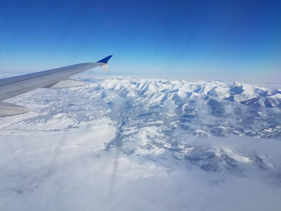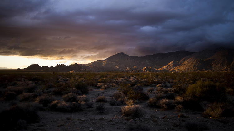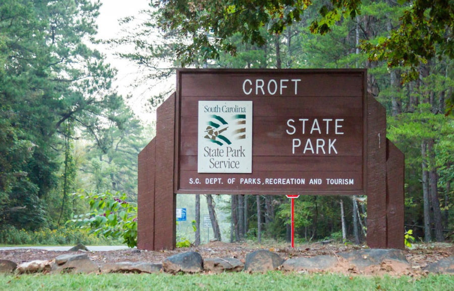
Southeastern Montana is a weird mix of wide open plains, constrained by fences, huge rolling hills, with sparse stands of pines. I am impressed with the scale of the wilderness here. This little corner of Montana feels like it’s a big cattle state. There are fences for cattle everywhere, there are even cattle crossing gates or guards getting on and off the interstate. Even the buffalo are fenced in. The deer and antelope may play but it’s not a free range world anymore. Welcome to Montana.
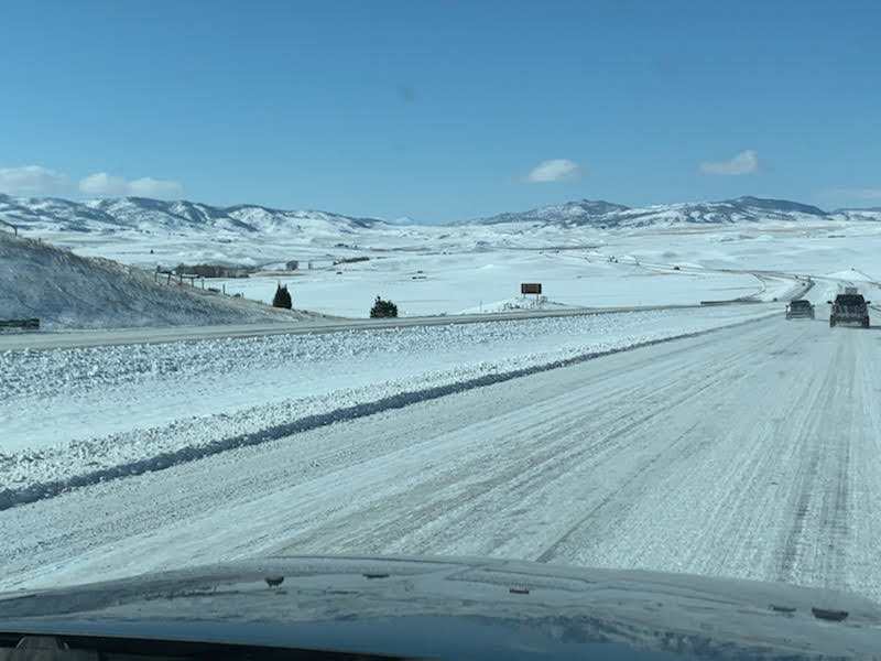
Landing in the great state of Montana was with a bit of apprehension as the temperatures had dropped and were running below zero our first couple days. Neither of us were ready or prepared for the early morning negative degree temperatures. Who in their right mind would think -7 degrees would be somewhere people would like to live?
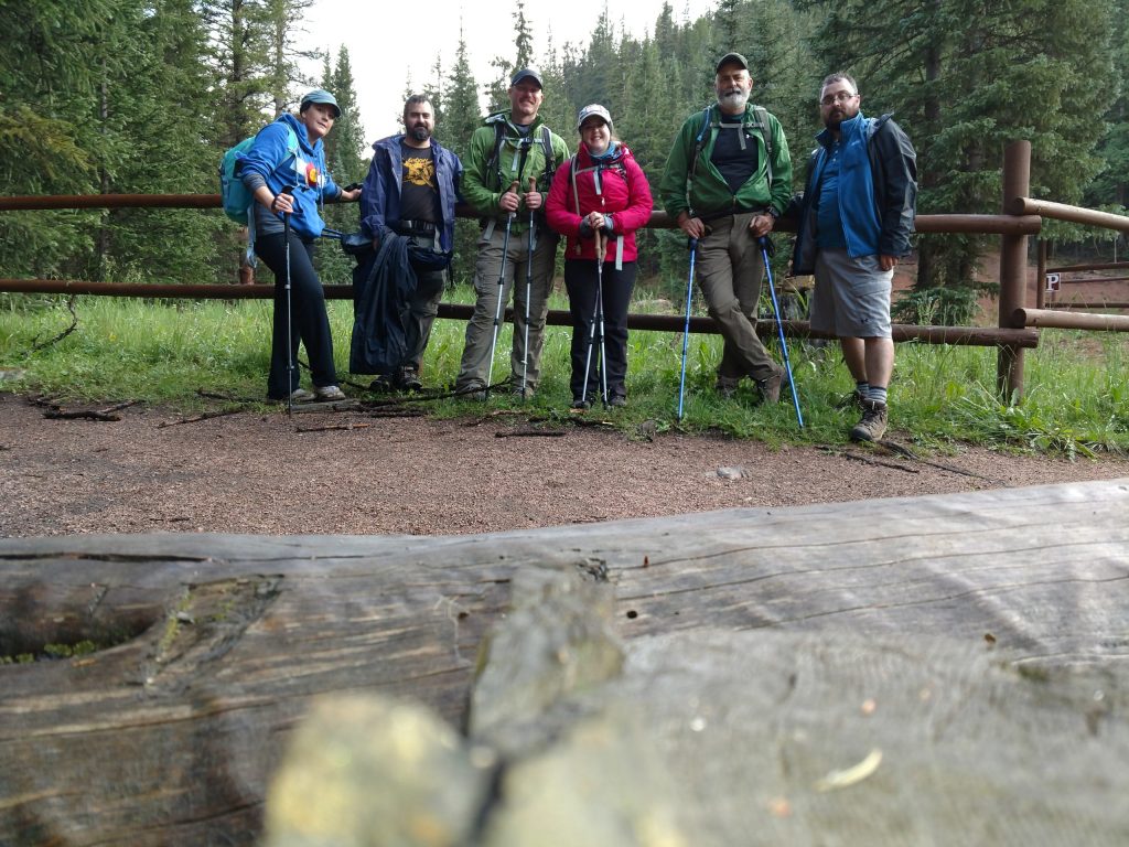
A little back story is probably due here. My brother is an avid hunter and this year was able to pull a long awaited Elk tag in Montana and had asked me along for the journey. This is actually the third (see An Elk-tastic Adventure) such adventure my brother and I have done. I drove up and met my brother in Virginia where we flew out to Montana. On our first day out in the woods was an every-layer-you-could-wear kind of day. Fortunately, for me at least, the temps over the next week rose to a way more tolerable level with lows running in the low 20’s and 30’s.
Over the course of the next 10 days, our daily routine typical consisted of awake at 5 am, packing gear, making lunches, and get ready for the day, on the road by 6 am. With a quick breakfast sandwich and coffee, we would travel to an area to explore. In the morning, we would hike in (and often up too), hike out, return to vehicle, find an area to explore for the evening, return to home base and repeat.

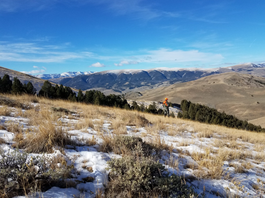
After several days of coming up empty handed, we picked up a “hot tip” from another hunter so we thought we would give it a go. This particular day started as most, with an early morning wake-up, pack up, on the road, and into the woods all in the dark. We’re about halfway through our trip at this point and the hot-tip indicated elk may be hiding in the basin on the other side a tough hike up and over more tough terrain. The route in was described as just over a mile and a half in, but it came with 1500 feet of evaluation gain. Logic indicating if it’s hard to get to, that’s where they elk will be. So off we headed.
The weather was still cold as we hiked partly up an old logging road in to the pine woods. As we slowly made our way up the snow covered trail of the old road, we were even successful in jumping a few deer. This told me we were stealthy enough to get close, we weren’t making too much noise, and if there were deer, maybe there would be elk. We saw lots of track crossing our path, but not much more after the deer. The old logging road passed through the forest to open hillside, the snow and road faded on the high side of the forest, giving way to a game trail at a fence line. We followed the well traveled game trail, continuing up and over another hill as the day warmed. The game trail eventually lead to a rock peak.
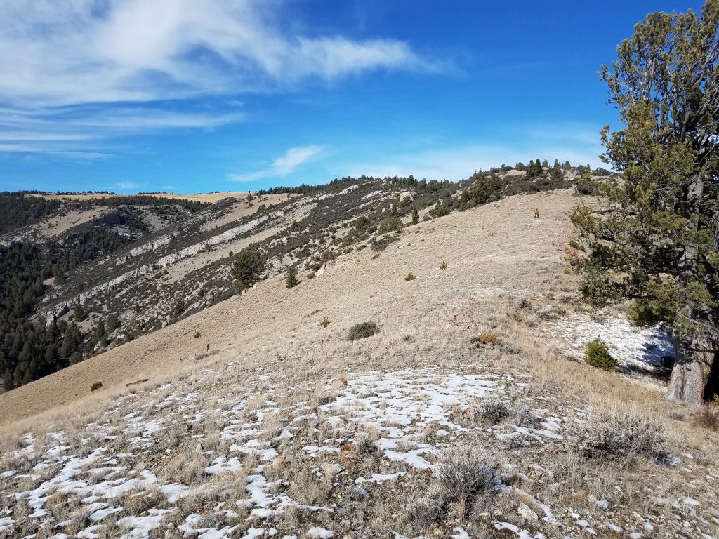
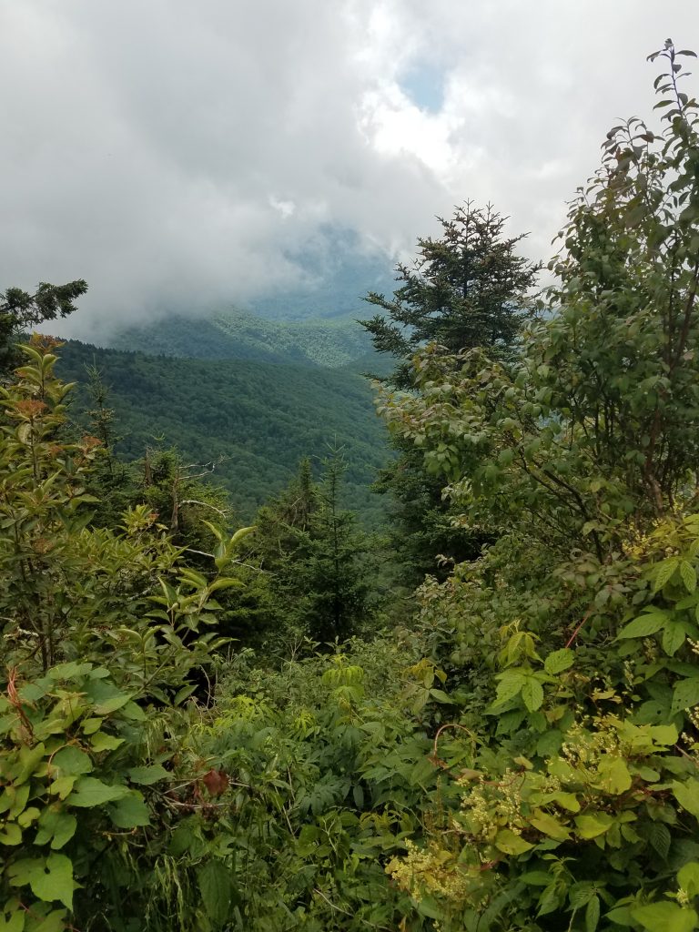
We had started hiking from around 7100 feet and went up to about 8600 feet. As a short hike goes this sounds easy but it took us a few hours to reach our peak. The peak looked over a basin as promised, with more and more peaks continuing after it. The view in to and across the basin from the peak was awesome, there was just one thing missing. Elk. This particular basin, like the vast majority of the areas we explored in Montana, while promising, was void of game. We sat on the ground under the large pine near the ridge, ate our lunch, and contemplated the ways of nature before we headed back out and down the way we had come.


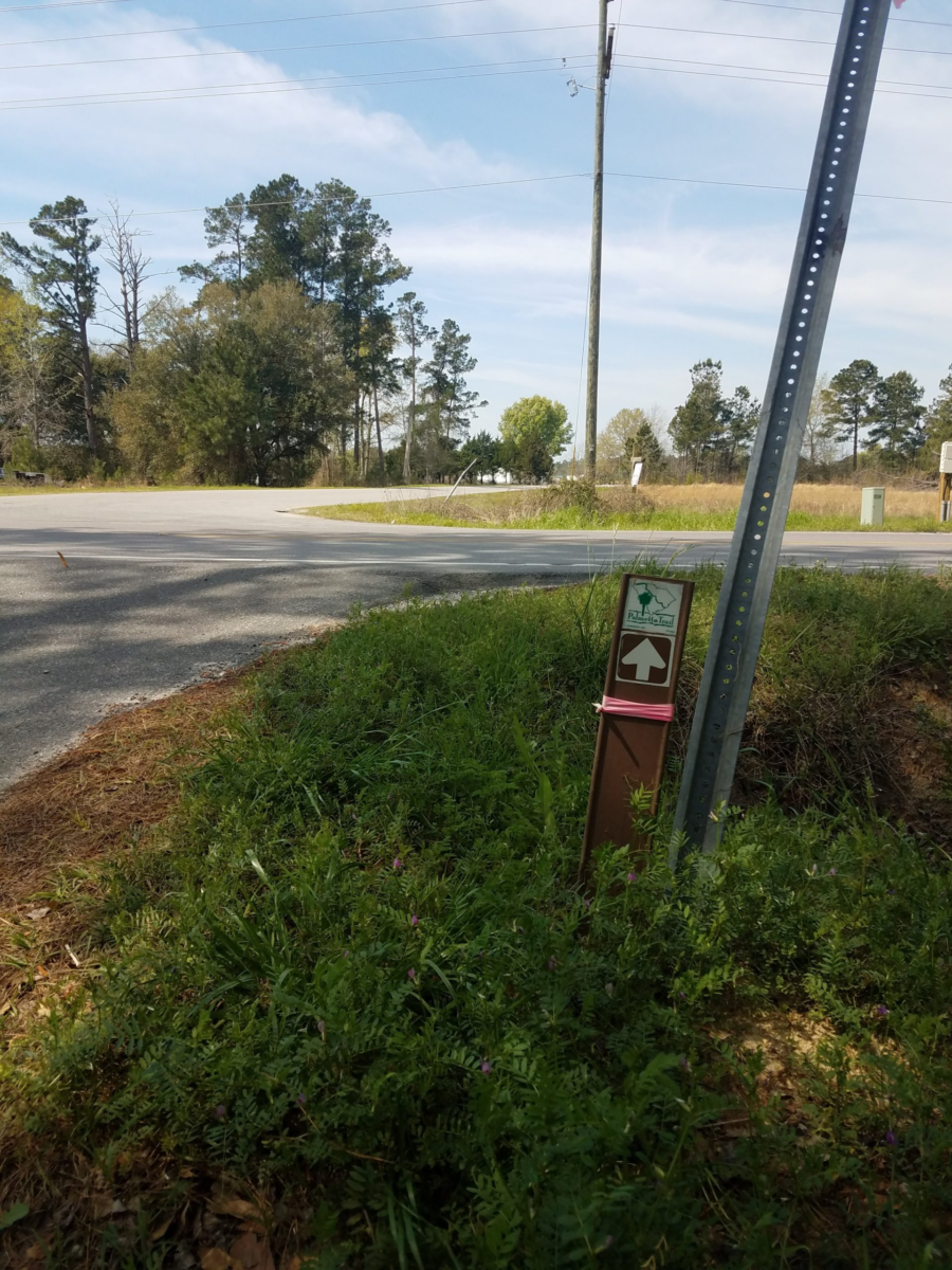
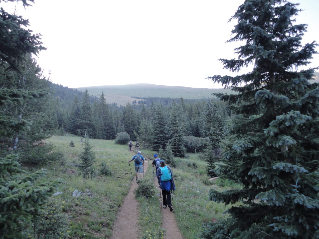
On one of our treks out to the wilds, we were able to do one of the neatest things, at least from my perspective. We were working an area west of Lima and we were able to hike out far enough to set foot on some hiking trails leading to the Continental Divide Trail (CDT). The CDT is one of Americas long trails running 3100 miles from Mexico to Canada along the Rocky mountains. While I’m still section hiking the Appalachian Trail, being able to step out on to part of the CDT was huge motivation to keep on hiking. It’s one thing to be tromping around in the Montana wilderness, it’s another to walk along a trail you know runs across the country from bottom to top. It’s a little hard to explain the difference here, but just walking along the hiking trail for even a few hundred yards, made the trip worthwhile for me.
For almost two weeks, we hiked up and down seemingly countless trails, bushwhacking across hill and mountain sides, stalking, standing, siting, waiting, up early, home late, looking very hard for the elusive elk we had traveled so far to tag, all to no avail. For the last hunt day of our trip, we had followed another “hot tip,” (law enforcement had to close one of the interstate roads to allow a heard of elk cross) wo we had been working this valley area. We had selected a promising river basin area we suspected the elk were traveling to and from. Up and in the field early again, we crept our way in, hunkered down and waited. After the sun was up, we stalked around a bit, but to no avail. By lunch we were back at the car and ready to head back to the hotel and pack up for our flight home the next morning.
As fortune would have it, we had just pulled on to the interstate, traveling east, when we spotted the elk. not just one or two elk. not a dozen elk. But a whole herd of elk, maybe herds of elk. Possibly all the elk in Montana (probably not but it looked like it). There were between 200 to 300 elk, sitting safe in the middle of a private field, eating clover, sunning themselves, watching the world go by, not a half mile from the interstate.
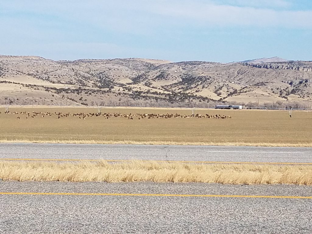
We pulled off the road and were both laughing. The elk knew what was going on, they knew where it was safe to hangout and enjoy the day, waiting for dark. We watched the hundreds of elk lounging safely in the field for while, then we headed back to the motel to pack for our flight the next day back to Norfolk. With no elk.
#