
Mt. Mitchell (6684′) & Waterrock Knob (6292′) are in the bag. This was as much an impromptu therapy couple days as much as anything else. It felt good to get out and go (highly recommended).
I had read about the southern sixer’s and decided to go out and try to bag a couple. Unfortunately, I had some pesky obligations for Monday (work), so I had to box in my plans down to driving up Saturday to North Carolina from Dorchester, South Carolina, hike a couple peaks, and then drive home on Sunday.
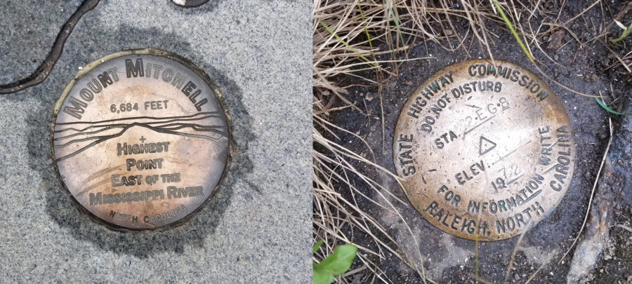
Normally I like to do a whole lot more planning when I’m heading in to somewhere new. This time I pretty much just hit the road, I had not really scope out the trails, or much of anything else, so I didn’t know what to expect when I arrived at the trail heads. This worked against me a little where I had wanted maybe a little more trail time and hit another peak or two, but the unknown added to the sense of adventure too. It ended up with me really not too sure where to pick up some of the trails to another nearby peak until it was too late in the day. This was still a really good trip. What I did know is Mt. Mitchell is the highest peak east of the Mississippi, I figured I would go there first.
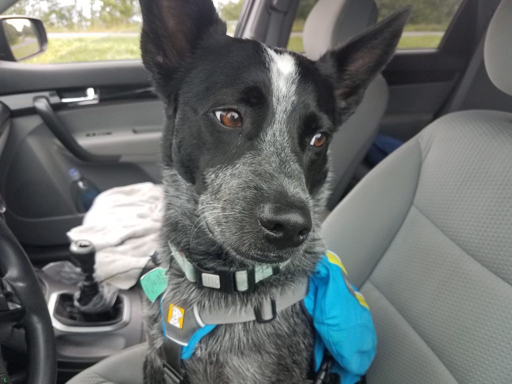
I basically just took my backpack (just in case), a change of clothes, some dog stuff an hit the road with Radar as my co-pilot. It felt like I had loaded more stuff for Radar than me, but I think I’m just a better packer than he is. Radar (with the help of Mr. Garmin) was able to expertly navigate us from the house all the way to the Mt. Mitchell visitor center parking lot without missing a turn.
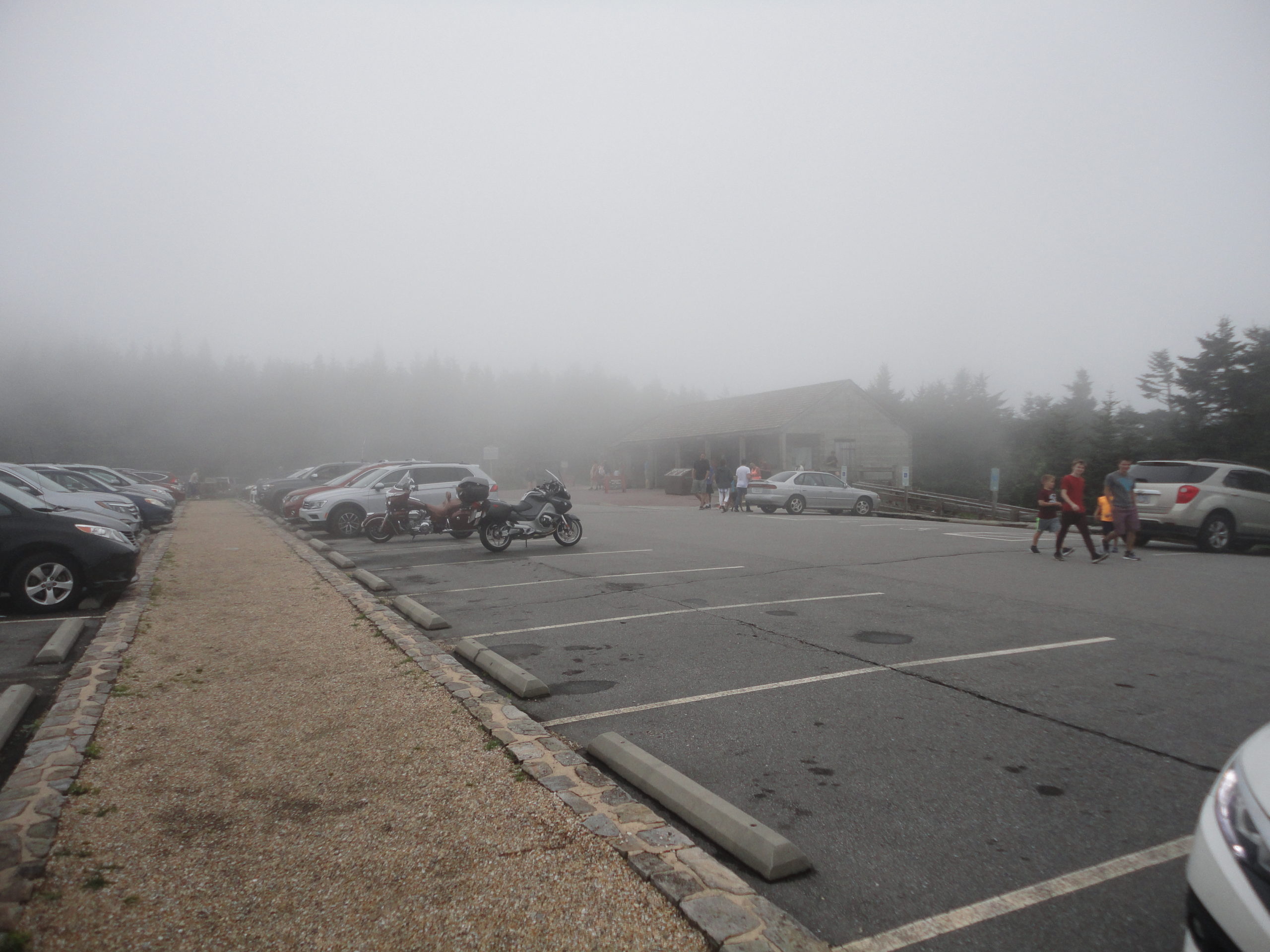
The trip up from south Carolina up to Mt. Mitchell was pretty uneventful, for a 5+ hour drive. Radar and I got to the Mt. Mitchell visitor center parking lot around mid afternoon. The visitor center was amazingly nice with ample parking. We geared up and headed out and up the mountain. Because of my lack of extensive trip planning, I really didn’t have a good idea how far it was to the summit, I found the hike from the visitor center parking lot summit trail head to the summit was incredibly difficult (just kidding, it was surprisingly easy!). The trail to the summit is actually paved and is an easy short walk for most people. The air was cool and a nice refreshing change from the heat in the low-country.
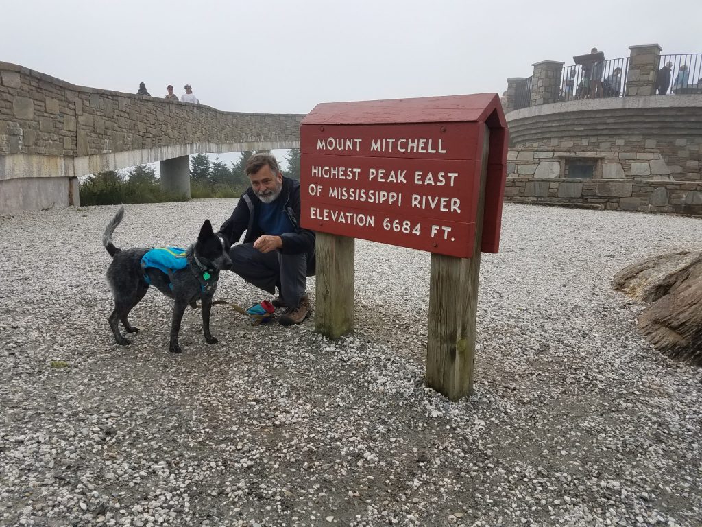
Radar and I submitted Mt. Mitchell about a quarter after 3 in the afternoon, on July 20th. The summit on this day was in the clouds, so visibility was pretty socked in – not really a whole lot to see. But then the view was not the prime reason I had come.
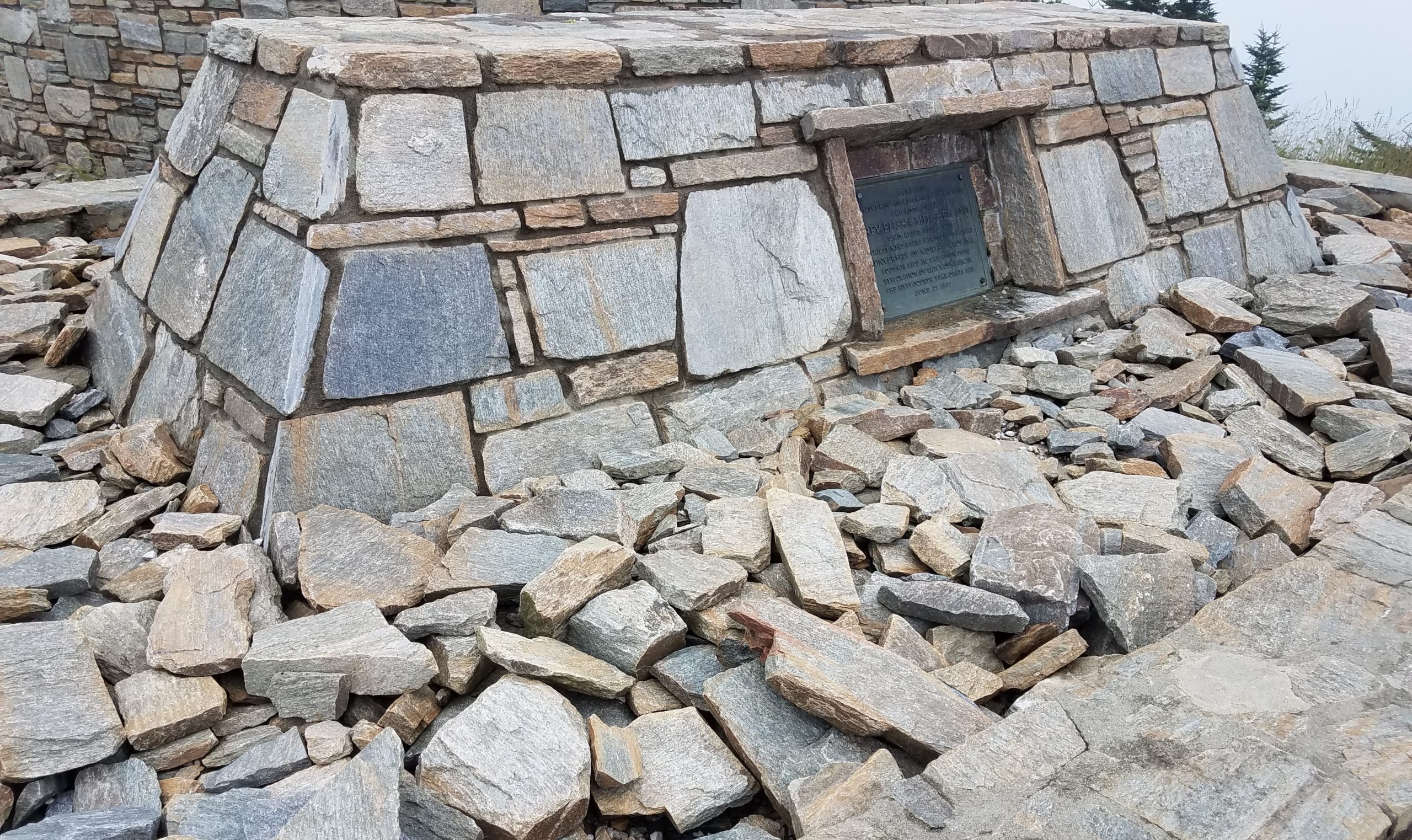
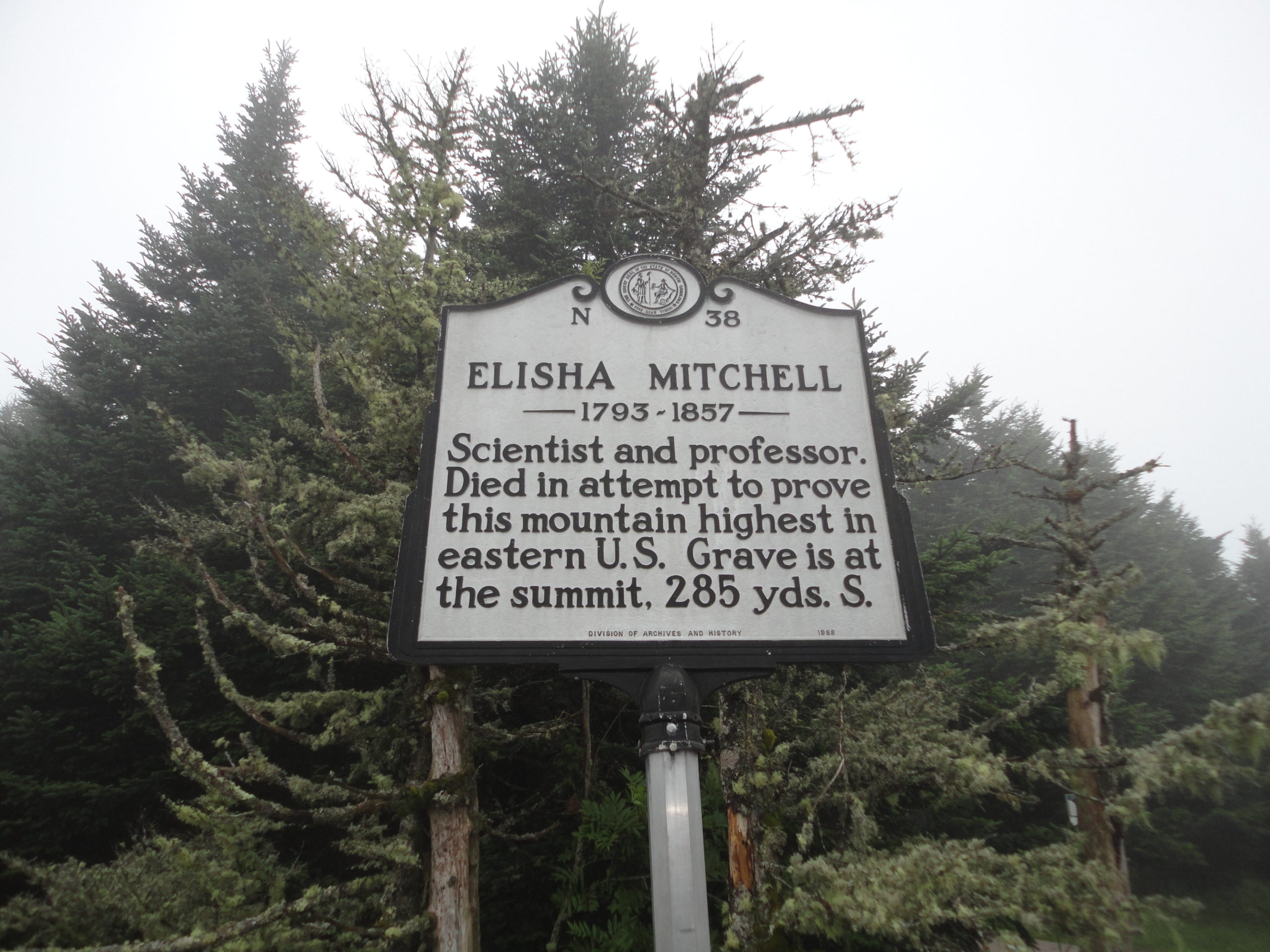
I did not know this until I got to the summit (must remember to planning more), but Mt. Mitchell is named after Elisha Mitchell. He died on the mountain in 1857, trying to prove the elevation of this mountain. His remains are buried on the summit still. Mountain graves and memorials are not uncommon, I’ve seen a number while hiking over the years. I often stop and think about the person behind the plaque. What events in their life brought to where they ended up. I leave a stone to let them know they are not forgotten. I again left a small stone. This time; the name of a cousin of mine was engraved on the stone.
Several years ago I sadly lost a cousin and I had made a small memorial stone for him. In the back of my mind, I wanted to leave it on a tall mountain somewhere. I had brought this stone with me on this trip. It seemed fitting, so I left my stone on this high mountain, 6684 feet above sea level, discreetly near the summit of the highest peak East of the Mississippi River. Radar and I returned to our car and headed down and west along the Blue Ridge Parkway, towards Ashville, for the night.
We stayed in a pet friendly independent motel (which shall remain nameless – unless you ask) on the edge of Ashville. I had selected it on the internet strictly based on price. Radar took one look at the motel room, then me, and pleaded with me not to leave him there alone when I went for dinner. I couldn’t blame him. So we both headed out for some Mexican at restaurant with an outdoor patio. When we returned to the motel we took turns sleeping. I gotta say, they tried, it really wasn’t too bad, and it was an experience, but I likely will not schedule a return there anytime in the near future.
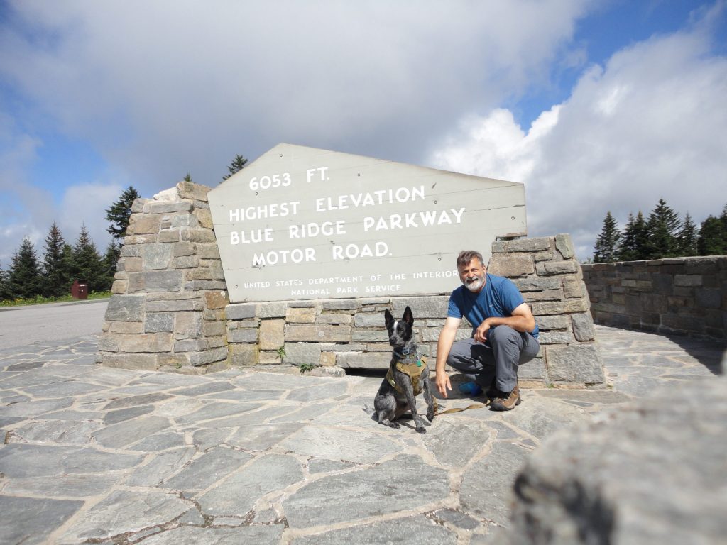
Anyway, Sunday we were up and out early. We had to head home but I wanted to try to bag a couple more peaks, if we could. Back on the Blue Ridge Parkway, we continued heading west from Ashville, towards Waterrock Knob. One of our high points on the way, was being able to claim standing on the highest park of the Blue Ridge Parkway.
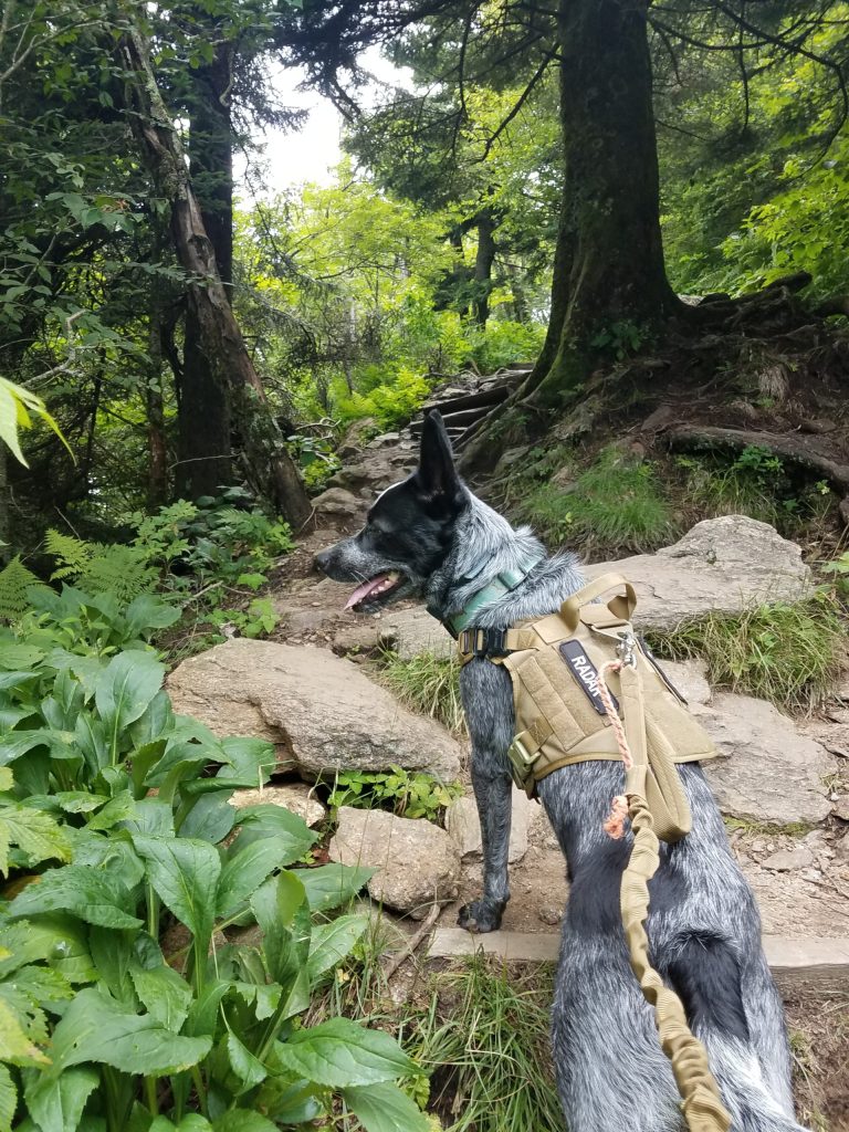
By the time we got to the Waterrock Knob visitor parking area, I knew we would be pressed for adventure time. There was supposed to be a trail at Waterrock Knob which ran across three or four peaks there. Unfortunately again, my (lack of) high level, detailed, planning would catch up with me. This peak also had an amazingly nice visitor center (they even let Radar inside) and nice parking. However, unlike Mt Mitchell, the trail to the summit of Waterrock Knob was not such an easy hike. The trail to the summit, while fairly short, just under a mile, it was a steep up hill climb. It felt good to work a little for the hike up.
Like Mount Mitchell, the peak was also clouded in so the view was limited to the inside of the clouds. We hung out at the peak a little catching my breath. I tried to pick up the trail to the next peak, but really didn’t know where to go. With a limited time schedule and really not knowing the trails held me back from getting likely hopelessly lost that day. So we just explored the peak a little. Hidden in the grass and almost covered with dirt, we were able to locate the benchmark. With this as the days accomplishment, I felt good about heading back down. I told Radar next time he needs to research this trail stuff a bit more. During our decent we located a couple more trails which were likely candidates for some future hikes, but for now, we were done. It was time to head back home.
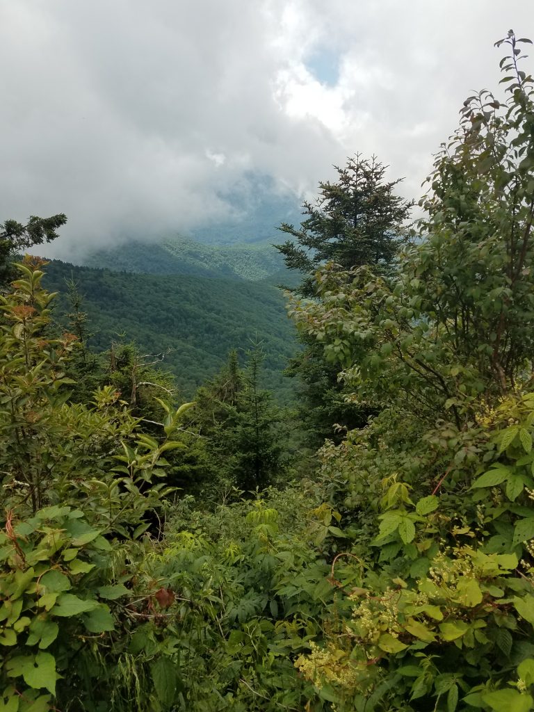
View from Waterrock Knob 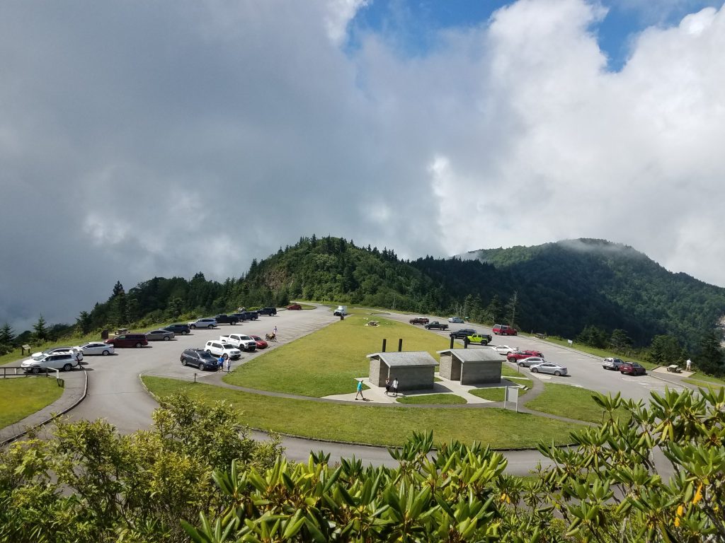
Waterrock Knob Visitor Parking 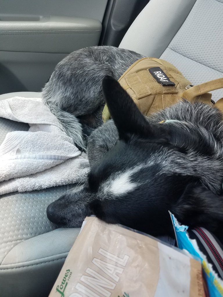
Radar after hiking up Waterrock Knob
Radar surprisingly slept almost the entire way back home. It was nice to get out and back up to the mountains. Being on the trail even for just a little while, helps put things back in place. Over all, a very therapeutic and worthwhile trip.
#