The journey of a thousand miles begins with the first step, and this is mine.

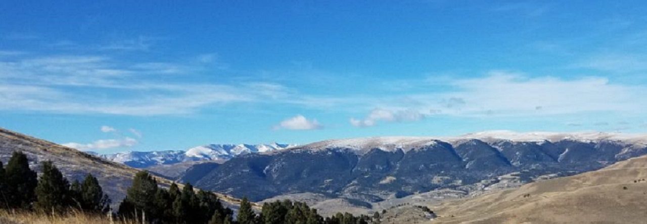
Montana Mountains

Category: Palmetto Trail

Hiking South Carolina – Croft State Park

If you like the outdoors, then Croft State Park has something for you. From horses to bikes to hiking to boating to shooting sports, this park offers a heavy helping of fun for everyone and is another outstanding South Carolina destination to explore.

Located in the rolling, wooded terrain of the upstate, Croft has an amazing amount of trails within the park to explore. All the 50 miles of trails at Croft are open to hikers and include the 12.6 mile Croft Passage of the Palmetto Trail, almost 17 miles of trails for Mountain Bikes, and another 17 miles of horse trails. While my girlfriend rode the horse trails with her friends, Radar and I took a day and hiked just about 13 miles of various trails including 8.5 of the Palmetto Trail section. We barely scratched where we could go.

This park opened in 1949 and with 7054 acres, is the third largest in the South Carolina State Park system. Besides the hiking, biking, and horseback riding, this park is packed with other things to do too. There are about 190 acres between the two lakes which support fishing, boating, and bird watching. There are picnic shelters, a playground, and several geocaches are located on the park. This is also one of the few South Carolina Sate Parks with a shooting range (contact the park for more information).

Favorite Time of year: Anytime for camping.

Things to Know: Please speak to a park ranger before setting a geocache. Swimming is not permitted in the lake, but you may wade in the Fairforest Creek at your own risk of course.

Camping: Camping from RV to primitive is available at Croft. Call 1-866-345-PARK (or go here for reservations).

Pet friendly: Pets allowed in most outdoor areas but must be physical restraint or on a leash not longer than six feet.

Getting There: Croft is in the upstate of South Carolina, just 5 minutes South and East of Spartanburg, between I-26 and US-176. It’s about a 4 hour drive from the Charleston area.

#

Hiking South Carolina – High Hills of Santee

Looking for a great one day hike? Then this may be the answer. This passage of South Carolina’s Palmetto Trail snakes through the Manchester State Forest, linking Mill Creek County Park with Poinsett State Park. The High Hills of Santee Passage trail gets its name from the high, rolling sandy dunes, which are part of the regional geology. These rolling hills are the ancient ocean shoreline found in the state’s midland area. This is one of my favorite hikes when introducing new hikers to the trail.

Located in Sumter County, near the Northern side of Santee Lake, this 10 mile trail winds through the forest from Sumter County’s Mill Creek Park (+-195’), North up to Poinsett State Park. As the Manchester forest is state managed, you will pass through a couple areas which have been logged in the past and are now in various stages of regrowth. The term forest however is a little misleading.  With fairly diverse terrain, including rolling sand ridges, mixed pines and hardwood forest, creeks, and even a patch of quicksand, there is plenty to keep the hike interesting every step of the way.

Of course you can hike in either direction, I prefer starting at Mill Creek Country Park and Hiking toward Poinsett State Park. The southern end of the trail is a bit more sandy and easier to travel through while you’re fresh. Towards the northern end of the trail you enter more rolling hills and wooded sections. As you come up from Shanks Creek crossing, there is a parking lot area before the trail crosses Poinsett Park Road. You are within the last few miles before entering the state park. With a latrine here, this is a great spot to take a short break before the last leg of this hike. Crossing over the road you pick up the trail again. You will step into another completely different type of wooded area as you enter a forest of scrub oaks draped with Spanish moss. This is one of my favorite sections of this hike. As the trail enters the park, it crosses and drops off to the left of the park road and winds down around the creek as you head toward and around the Old Levi Mill Pond. You will comes out of the woods and cross the earthen dam holding back Old Levi Mill Pond. While you are there, take a few minutes and explore the Singleton Grist Mill ruins and old grinding wheel. You end your hike at the park visitors center (+-100’) trail head at the parking lot.

Favorite Time of year: Fall through Spring

Distance: About 10 miles

Things to Know: This is a Moderately Easy hike.

Camping: Camping is available at both Mill Creek County Park and Poinsett State Park (reservations required). Both parks have restrooms, bathhouses, and parking. For all permit and reservation information at Mill Creek county park, call Steve at (803) 436-2248.

Pet friendly: Must be leashed at all times, including the forest, okay everywhere outdoors except cabin and lodging areas of the park.

Getting There: Poinsett State Park and Mill Creek Park are both located near on the Northern side of Santee Lake, and West of the town of Sumter, in Sumter County, South Carolina. It’s about a 1 hour drive from the Charleston area.

Hiking South Carolina – Awendaw Passage

Need a quick getaway? Then hike this out and back. Just a short hop from Charleston, this trail winds down along the Intracoastal Waterway to the southern terminus of the Palmetto Trail and the Buck Hall Recreation Area.

This trail has a lot of hiking flexibility. If you are hiking solo or with only one vehicle or want to simply do the extra mileage, you can hike this trail out & back in a day, enjoying your trail lunch at the Buck Hall Recreation Area. With a couple vehicles, you can do a quick one way hike in either direction. I prefer hiking to the recreation area as there are picnic tables, bathrooms, and waterfront scenery which are nice amenities while you enjoy a lunch break.

For an out and back day hike, park at the Palmetto Trail Swamp Fox trail head on the west side of Hwy 17. Heading north on Hwy-17, you will go past the trailhead before you get to a turn-around on the divided highway. This trailhead is a little hard to pick out but it is just after Steed Creek and before Murell roads (you went too far if you get to the St. James AME Church). Once you get parked and geared up, the trail heads north out of the parking lot for about a half mile where it connects to the Swamp Fox portion of the Palmetto Trail. You’ll head East to branch off towards Awendaw. Heading to the West, the main trail will continue as the Swamp Fox portion of the Palmetto Trail. The Awendaw portion of the trail will loop back easterly along an old railway bed then following a dirt road, will head southerly crossing Hwy-17 (use caution) and continue to the canoe launch ramp on Awendaw Creek. This is a nice place for a short break. You can sit, enjoy a snack, and watch the water flow by. You’re about halfway to the recreation area here. From the canoe ramp, the trail will generally following the creek winding along the salt marsh and through the coastal palmettos, scrub oaks, and pines. You will cross over several foot bridges until the creek enters the Intracoastal Waterway. The trail loops back to the North just a short stretch and then turn southerly as it enters and ends at the Buck Hall Recreation Area boardwalk. The recreation area has a number of shaded picnic area where you can sit and enjoy lunch and views of the intracoastal waterfront.

Favorite Time of year: Fall through Spring.

Distance: 7.1 miles (one way)

Things to Know: This is an easy hike. If day hiking and leaving a vehicle at the Buck Hall Recreation Area there is small a day use/parking fee. Remember, this is the Lowcountry of South Carolina, so be prepared for a few wet parts along the trail, especially after a good rain. During the warmer months, the South Carolina mosquitoes can be a bit … ferocious.

Camping: Waterfront camping and restrooms are available at Buck Hall Recreation park (reservations required).

Pet friendly: Must be leashed at all times.

Getting There: Located along US-17 just a short distance from downtown, it’s about a 40 minute drive from the Charleston area.

Page 2 of 2

Powered by WordPress & Theme by Anders Norén