The journey of a thousand miles begins with the first step, and this is mine.

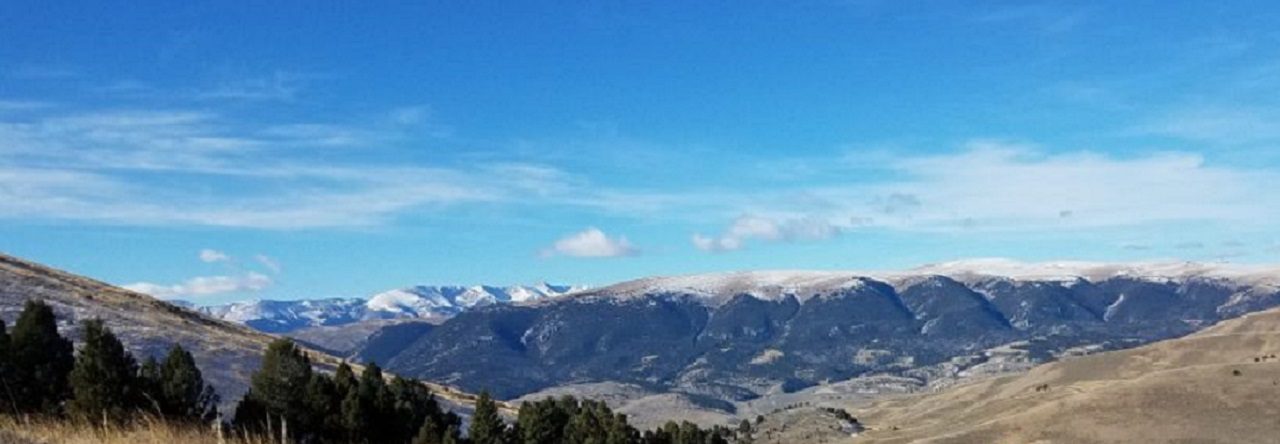
Montana Mountains

Category: National Parks

Congaree NP Entrance Sign

Hiking South Carolina – Congaree National Park

Radar and I hit the boardwalks of the Congaree National Park as part of our Palmetto Challenge and we were not disappointed. The last time I had visited the Congaree swamp area, it was the Congaree Swamp National Monument. There was just a basic visitor center, a few hundred feet of boardwalk, and an open field designated for camping. Congress did a great thing in 2003 when they re-designated the monument as the Congaree National Park.

Many improvements have been made as a result of the national park (NP) designation. The campsites have been upgraded to actual real designated camp sites with central latrines. There is paved parking and a new, much larger, visitor center which explains the history and importance of the entire Congaree basin. It’s here you can also pick up the map and narrative for the Self-guided Boardwalk Tour, which Radar and I did at the start of our walk. The best part of the the park improvements are expansion of the boardwalks and trails. There are almost two and a half miles of boardwalks with dozens of miles of foot trails winding deep through the rich swamp.

On the day of our visit, the weather was perfect. The trees were in their spring green and their high 130 foot canopy providing wonderful shade and a cool breeze. The river water however was elevated at just over 8 feet, and as part of the natural flood cycle, almost all of the low trails were underwater including a portion of the low boardwalk. We walked the low boardwalk out about a half mile to where the flooding waters took over. We stood at the waters edge and watched the water slowly making it’s way through the trees around us. It was kind of magical to be able to stand in the middle of a flooded, flowing swamp. We backtracked and followed the elevated boardwalk out to Weston Lake and then a little past where one of the trails intersected the boardwalk. The floodwaters prevented us from looping any of the trails this day, but we had a great time exploring anyway.

This park offers some great opportunities to explore a rare old growth forest, either afoot or afloat. You can hike deep in to the park on the River & Kingsnake trails. if you like paddling, you can take some amazing float trips through the swamp via canoe or kayak on Cedar Creeks and along the Congaree River itself. My first couple canoe trips in South Carolina were centered around the Congaree River and Swamp. My family and I canoed a very memorable 48 miles of the Congaree River, camping in the wilderness on the banks of the Congaree Park (National Monument at the time). The following month, I led a weekend canoe trek with my scout troop starting on Cedar Creek in the swamp and making our way out on to the Congaree River, again camping in the wilderness. Both trips were adventures in exploration of a wilderness not likely to be found anywhere else.

Conagree NP Weston Lake

As the largest remaining tract of old-growth bottom-land hardwood forest in North America, the Congaree National Park is a must-visit if you ever find yourself in the area.

Congaree National Park (120′) | SC 48 (Bluff Road) | Richland Co. | Hopkins, SC | 16 April 2019 | 6 miles | 106′ gain | Easy

Favorite Time of year: Spring and fall for camping.

Things to Know: Check the water levels prior to going, you can call or check the river gauges here. Please speak to a park ranger before setting a geocache.

Camping: You need a prepaid reservation for front-country campgrounds, you can make reservations through Recreation.gov or by calling 1-877-444-6777. Back-country camping is allowed please the the Camping page of the NP site for details.

Pet friendly: Pets allowed in most outdoor areas but must be physical restraint or on a leash not longer than six feet. Be respectful of others on the boardwalks.

Getting There: Congaree NP is in the midlands of South Carolina, just South of Columbia about 30 miles, East of I-26 and South of I-77, just off Old Bluff Road. It’s about an hours drive from the Charleston area.

#
It’s a WIN!

The headlines of the Chicago Tribune read “Senate backs biggest conservation bill in a decade, protecting millions of acres of land and adding four national monuments”. This is great news not just for the outdoors folks but really for all Americans and here is why.

This is one of the biggest outdoor conservation bills in a long time and it looks like it’s been done right. While the bill still needs to make it through the House and then be signed by the President, this bill has an impact in just about every state of the nation and when signed, will have a positive and lasting impact for a long time to come.

The Senate, working together, in a seemingly and sometimes rare bipartisan manner, passed S.47 – Natural Resources Act. The bill is to protect millions of acres of land, hundreds of miles of wild rivers, and establishing four new national monuments. Legally, by congress coming together to pass federal legislation. This is hugely important to the outdoor community and should be as important to everyone. The outdoor community at first was celebratory with former President Obama’s executive orders declaring new areas as protected lands, then anguishing as current President Trump looked at undoing some of these “protected” areas. Many may have felt rightly upset, as if the outdoor conservation rug had been pulled out from under them.

This bill makes a giant step forward in cementing the protection of what Americans love about our lands. From wilderness area, to historical areas, to outdoor sports and activities we enjoy, this bill has something for just about any one who steps outside of their house. This new legislation is a huge win for everyone really. If you read the Tribune’s article, you get an idea of the magnitude of this piece of legislation. And unlike executive orders, bills like this will have the proper funding to go with it for park and program maintenance.

The value of this bill really struck home with me as I was reading over the introduction in Section 1 of the bill. One of the very first things I read was about the Crags Land Exchange to enhance the Pike’s National Forest and provide permanent trail easement. This is the side of Pikes Peak I climbed with my family. For me anyway, this is an amazing section of trail and land. The experience was something I will hold dear to me. If any of the rest of the areas or items in the bill are worth even a fraction of the Crags portion and my experience hiking there, then this bill is priceless in providing current and future generations with the best outdoor experience possible.

#

Hiking South Carolina – Kings Mountain

This is a great hike any time but more so during reenactment weekends. The national park hosts several living history events with period encampments and demonstrations throughout the year. I  normally have done this hike over the Memorial Day weekend inconjunction with the park’s “Military Through the Ages” event. The historic significance of the battle ground really is driven home as you near the end of the hike. You get a real sense of what life and travel was like 200 years ago.

This 16 mile trail loops through both Kings Mountain State Park and Kings Mountain National Military Park. You can pick up the trail from one of the organized group primitive camping sites (+-800′) or from the state park camp ground, the trail loop conveniently passed both. Water and latrines are available in both areas. You will start out heading South and wind towards the South-west as the trail takes you over some rolling hills. The trail passes several wilderness designated camp sites and streams along the way. Near the state park’s southern boundary, the trail will make a fairly sharp turn to the North and rising up and away from the water. Just before this direction shift happens, the stream flattens out a little with some low banks. This is a good place to top off your water. The Garner Creek Campsite (+-700′) on the national park side is on high ground and dry. There is another stream past the Garner Creek Campsite but it’s about a quarter mile after the campsite. Once the trail shifts to the North, it rises out of the cooler valleys, becomes a little dryer and warmer. You know you are getting close to the camp site when you cross a dirt road. The Garner Creek Campsite is clearly marked and the only designated wildernes campsite of the national par side.

Up and on the trail the next morning this section goes pretty quickly with a run up bowns’s mountain and exploring the battle ground visitors center. about a mile after you leave Garner Creek, you will come to a spur trail for Browns Mountain (1045′). Summiting this peak is a short run up to the top of Brown’s Mountain and back down. The visitors center is only a couple short miles from here. The trail loop passes to the North of the battle ground and visitor center. Hike the spur trail on in for a stop at the national park visitor center.

This is a must do if you have not been here before. First of all, the visitor center has bathrooms and water. The area near the bathrooms is shaded and a great place to eat lunch. Second, but probably most importantly, the visitor center and 1.5 mile self-guiding walking trail around the battle field (+-1020′) is the heart of the park and key to understanding the history of the site. One of the cool things about Kings Mountain is the connection to the Appalachian Trail in the Roan Mountain area. In the late September-early October of 1780 (the rebel Americans were knee deep in a not-going-so-well break-away revolt against the British empire), hundreds of men crossed what is today the Appalachian Trail near the Over Mountain Shelter in Tennessee and hiked 80 miles in to history at the Battle of Kings Mountain, changing the tide of the Revolutionary war. Hiking these areas really adds a depth and an order of magnitude to history you just can’t get from a text book.

After touring all of the sights at the national park visitor center, simply retrace your way back to the loop trail and continue the remaining few miles to your starting point.

Favorite Time of year: Memorial Day Weekend, but check the park schedule for reenactments events.

Distance: 16 miles (the 1.5 mile battle field trail is a bonus)

Things to Know: This is a moderate hike. The actual battle ground is in the national park with regular park camping on the state park side. The 16 mile trail loops through both.

Camping: Primitive on the trail. Primitive, tent site, and cabins designated within the park (reservations required). There are several primitive trail camp sites on trail in the state park, however on the national park side camping is only allowed at Garner Creek Campsite.

Pet friendly: Mostly pet friendly, must be leashed at all times, okay everywhere outdoors except cabin and lodging areas of the park.

Getting There: Located near the Northern border of the state, Kings Mountain State Park is in Cherokee and York Counties, South Carolina, just to the West of Charlotte North Carolina. It’s about a 4 hour drive from the Charleston area.

#

Sampling National Parks (day 2 & 3)

Driving to Colorado provides for the opportunity to check out some places along the way. Our fluid schedule had some time built in to “stop and smell the roses” a bit and Zion National Park was first on the list of roses to smell.

The Zion National Park is simply an amazing place. If you haven’t been, you need to add this national treasure your Life List. You will need at least a week to explore and really enjoy what the Zion canyon has to offer. At first, the Disney size crowds and shuttle waiting lines made me wonder if it was really worth the waiting. In all reality the park folks do an amazing job of managing the thousands of daily visitors. Free shuttle buses run during the peak of the season, the park was clean, and the visitor traffic (foot and car) seemed to flow fairly smoothly.  But the beauty of the canyon is the inescapable magic. The canyon walls rise up hundreds of feet in most areas and run for miles along the Virgin River. You can’t help but look up and when you do, all the questioning of other things around you fades away with the wonder of the natural beauty to witness.

Despite a late start on the first day, we hiked a part of the Angel’s Landing trail and then in the evening took the scenic drive around the park. We returned early enough the next morning to get in a good hike in part of the Narrows and Virgin River. The two days couldn’t have been more different. Sunny and warm, the first day seemed to find us behind the bubble of daily tourists. While the trail is largely paved, hiking up Angel’s Landing Trail in the afternoon sun was extremely challenging at best. Our second day was overcast and cooler, we were in early and on the shuttle quickly. Again the river-walk trail was paved but once we were hiking in and along the Virgin River in the shadows of the canyon walls, it made for a refreshing and most enjoyable time. But our time was up and we had to move on.

Back on the road we high tailed it from Zion up to visit the Arches National Park. When we arrived, the iconic Delicate arch was closed due to flooding, so we drove to the Window Arches section of the park. I think this was the better experience. It was a short walk to the several aches there and we were able to explore them much more. As the sun was getting low it was time to drive on. We rolled in to Grand Junction, CO for the night. On to Colorado Springs in the morning.

As a first time visitor through this particular part of the country I found passing through Utah, or at least southern Utah, pleasantly surprising to me with its diversity of terrain and features. There is so much of nature to see here. The magnitude of the way these lands formed and continue to change is amazing to see. These two short stops at these two parks told me I think I will definitely need to add a couple new things to my play list.

Narrows1


#

The sun is rising (day 1)

The sun is rising in the Eastern sky as we leave Las Vegas behind us. The skys are clear, maybe some white cotton ball clouds at the edges. The mountains to the North of use are both bathed in the light of the rising sun and still cloaked with shadows as the night melts away. The pristine desert floor is dotted with man’s influences. We are clearly moving into western desert terrain.

We left San Diego late yesterday afternoon and traveling through the Mojave desert, made the outskirts of Las Vegas late last night. Even late at night the desert heat was oppressive. Fortunately the hotel AC was able to reach ice-box level cold, along with some home crafted ale we chilled and sleep well. 5 AM came quick and we’re back on the road heading to Pike’s Peak via Zion National Park. The weather today is forecast to be much cooler – mid 80s which should make for good hiking in Angels Landing.

#

Powered by WordPress & Theme by Anders Norén