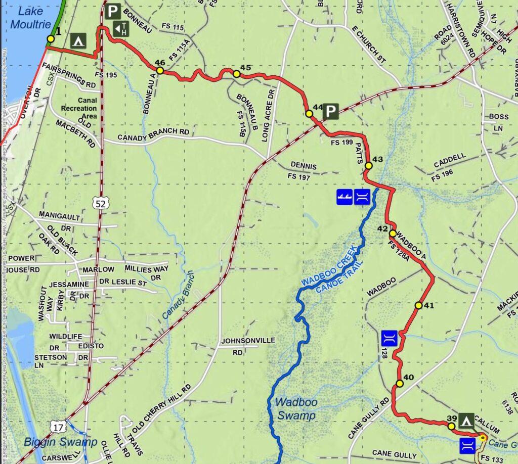
Last spring, I hiked this same part of Section 3 of the Swamp Fox Trail Passage of the Palmetto Trail with a mixed group of hikers. I returned this spring to do it again. It was like hiking a completely different trail.
It’s refreshing to hike a trail twice and have a completely different experience. Sometimes re-hiking a trail is like a repeat experience, good or bad, it’s just pretty much the same. I’ve hiked a number of trails in my area, including this one, several times. I had been thinking about trying to find an alternative area to hike for this weekend, but this route was the simplest to pull off logistically. This time, the hike felt like a completely new trail.
The weekend weather really paid off for us; forecasted rain never materialized, and the weekend was perfect hiking weather. We camped at the same spot near Cane Gulley Branch Creek. The ground was dry and the overnight was cool, and we woke to a light dew in the morning.
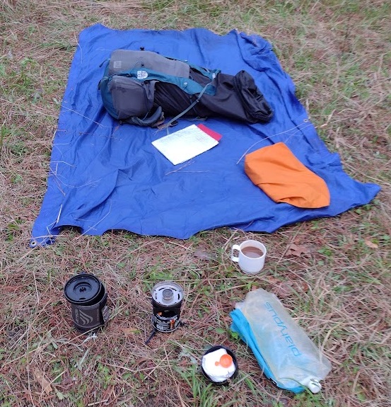
I was up early before the sun and other campers, took care of my morning business, and started breaking down my shelter while making breakfast. Breakfast was my trail, Cafe-Mocha, and instant oatmeal. I let the dew dry a little while I ate before I folded up my tarp.
Some of our brave hikers had planned a nice hot breakfast of … fried SPAM sandwiches. Unusual, but each their own. I gave up on planning group menus a long time ago.

Our youth group used to go through the trouble of developing a backpacking trip menu, buying the food, and dividing it among the hikers. It can work sometimes for new hikers as a way to give them ideas. But it’s a lot of work for a couple of people. I shifted to a plan-your-own, buy-your-own menus, and found it’s much simpler for everyone to make their own menu, get their own food, etc. It’s a great learning experience. On one memorable hike, one hiker brought two 1-pound cans of clam chowder soup for dinner. It’s a little over the top, but he hiked it in, ate both cans, and was very happy with his menu. You might say he was as happy as … a clam.
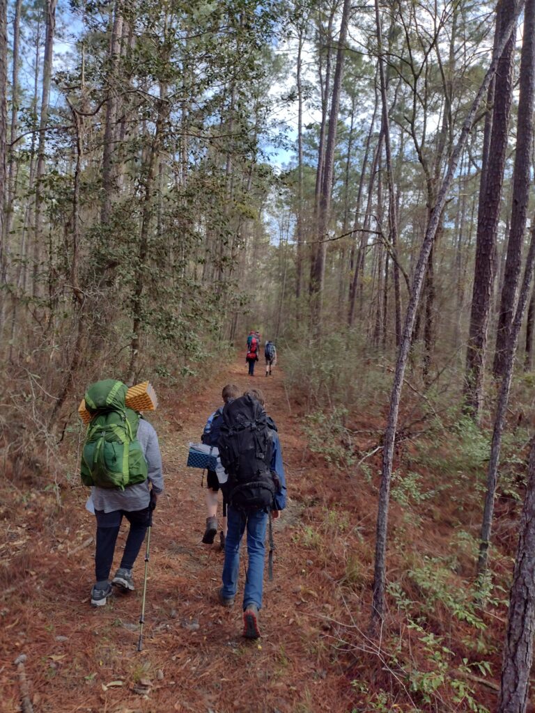
On this trip, we had two new hikers with us, so a quick pack-shakedown was on the agenda once everyone was packed and ready. We talked about equipment and various options for packing and lighter alternative gear in the process. I removed about 15 pounds between the two before we hit the trail. Even with the pack-shakedown and associated coaching, we were on the trail much earlier than I hoped. Our group was on the trail and hiking at 8:15 am.
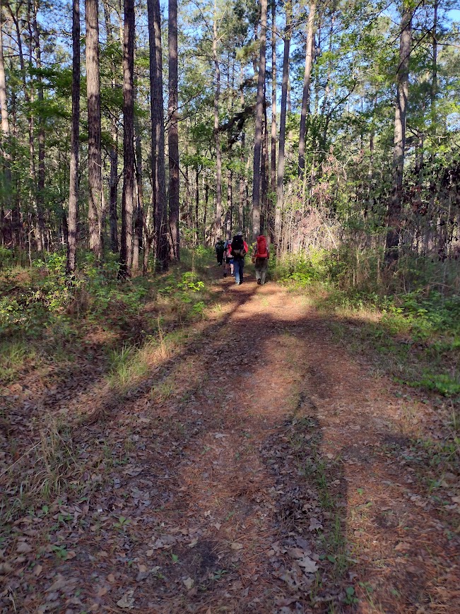
An early start is a great way to start a hike. For me, when hiking, time is miles. Generally, I budget about 2 miles per hour for my hiking time. A late start usually means a late finish. It also means more time hiking during the heat of the day. Even if I hike the same number of hours, I feel better arriving at my destination “early.” We had a strong pace from the start, and it continued for most of the day (Thank you, Kaci!). This gave us more time at lunch to relax and still let us make our base camp in good time.
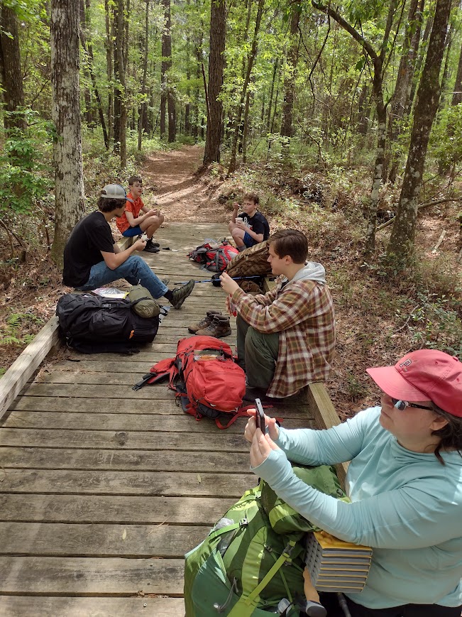
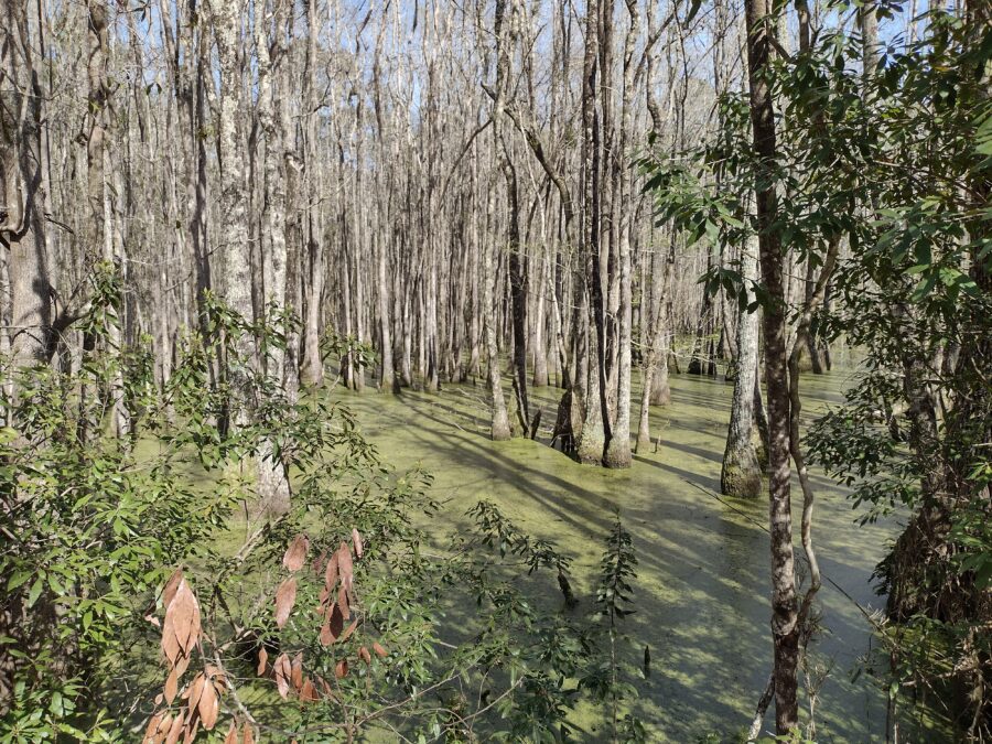
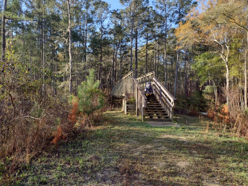
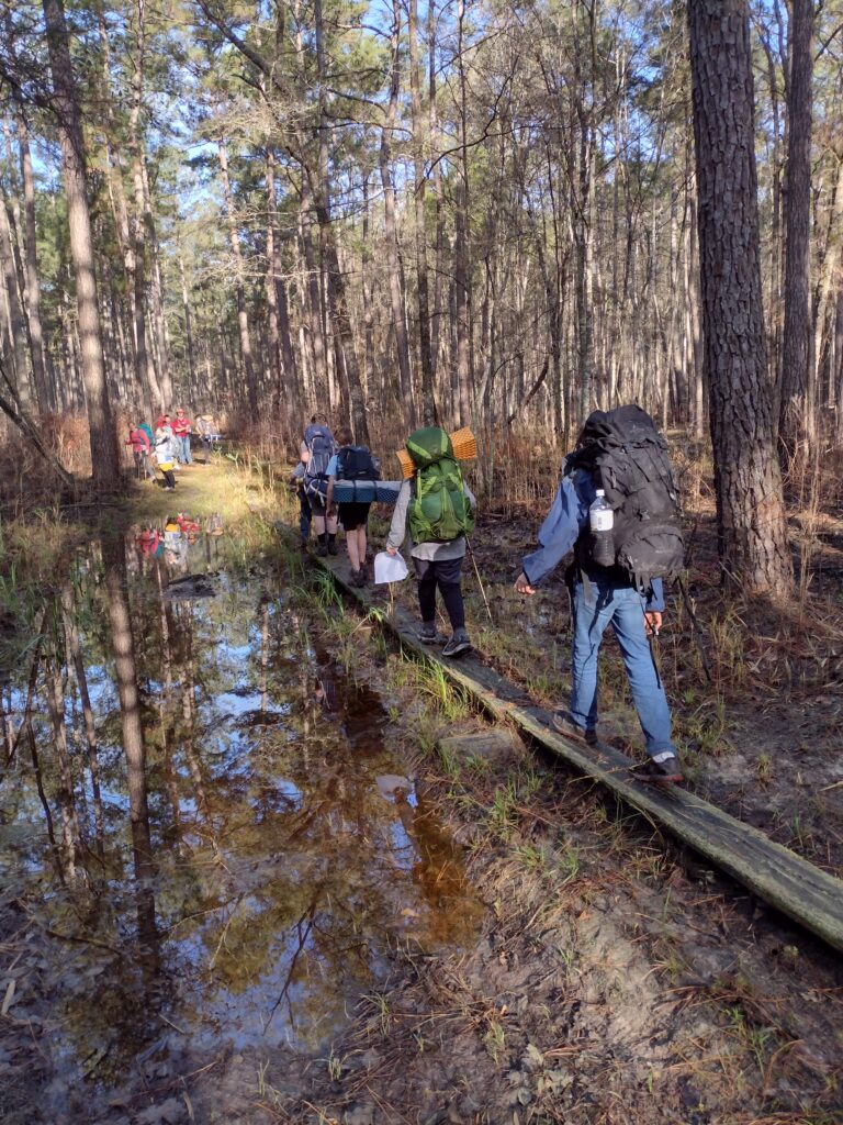
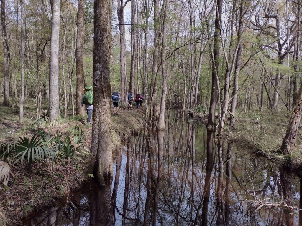
The trail was so much drier than last year and a real pleasure. The Swamp Fox Passage weaves its way through over 47 miles of the Francis Marion National Forest from Highway 17 to Lake Moultrie. Depending on the time of year, this trail is often swampy and wet. There are sections of the trail where foot bridges have been installed to help mitigate the wet ground and keep the trail passable. On this trek, the trail was dry, we took our relaxing lunch break on one of these foot bridges.
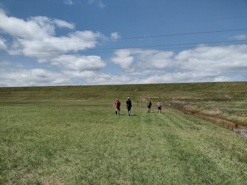
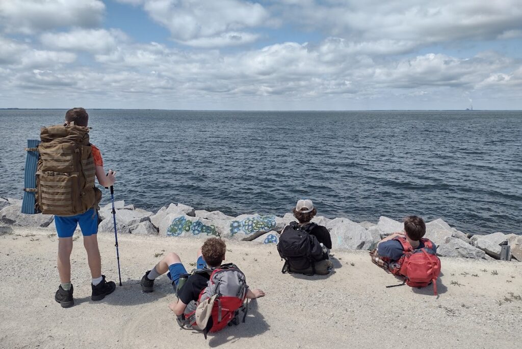
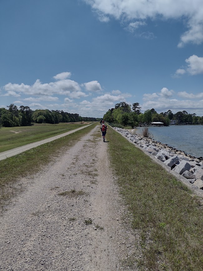
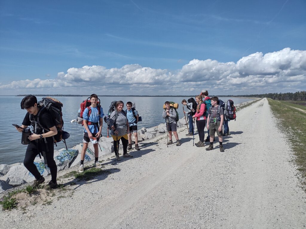
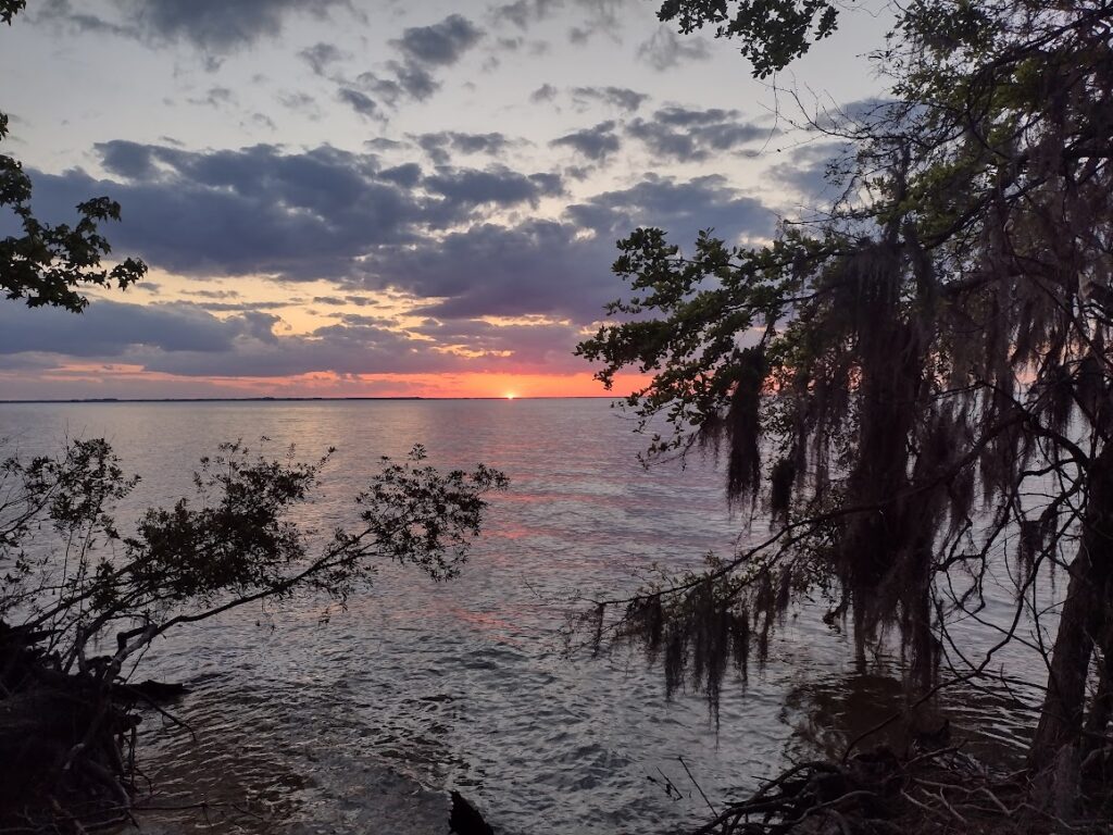
Overall, this was a great hike; the trail was dry, we started early, and moved quickly. All the young hikers did a great job. We made our base camp on the shores of Lake Moultrie by 1:40 pm. Once we made our base camp and recovered our vehicles, we were able to sit back and enjoy the rest of the afternoon, relaxing in the shade and cool breeze of Lake Moultrie.
#